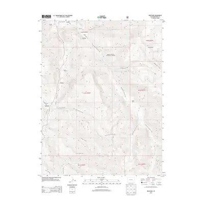
2013 Map of Redstone
USGS Topo · Published 2013About this map
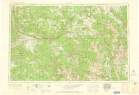
Redstone sits at the base of the Elk Mountains where Coal Creek meets the Crystal River, anchoring this high-elevation landscape within the White River National Forest. This 2013 survey documents a network of historical transit routes, including the Hell Roaring Trail, the Lily Lake Trail, and the Placita Trail, which trace the difficult terrain of the surrounding ridges. Along the river corridor, the map records established recreation and local landmarks like Penny Hot Springs and Avalanche Ranch. The presence of numerous campgrounds, such as Janeway Campground and Osgood Campground, highlights the area's transition from early industrial roots to a protected forest environment. From the high drainage of Hell Roaring Creek to the open flats of Dooly Park, the map provides a precise record of the hydrological and topographic features that have shaped development in this part of Pitkin County.
Find a feature on this map
37 named features on this map. Tap any name to fly to it.
Don’t see what you’re looking for? This feature index may not catch every label — zoom into the map to look around manually.
Map Details
Editions of this 2013 Redstone Map
This is the sole edition of this map. No revisions or reprints were ever made.
Other maps of this area

1957 · Leadville
USGS Topo · 1:250,000

1959 · Leadville
USGS Topo · 1:250,000
1960 · Leadville
USGS Topo · 1:250,000
1960 · Marble
USGS Topo · 1:24,000
1960 · Capitol Peak
USGS Topo · 1:24,000
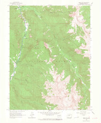
1960 · Redstone
USGS Topo · 1:24,000
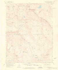
1960 · Snowmass Mountain
USGS Topo · 1:24,000
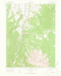
1961 · Mount Sopris
USGS Topo · 1:24,000
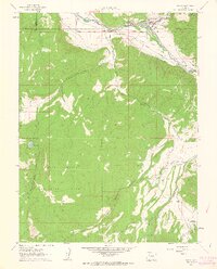
1961 · Basalt
USGS Topo · 1:24,000
1962 · Leadville
USGS Topo · 1:250,000