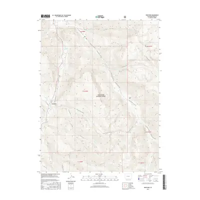
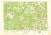
2016 Map of Redstone
USGS Topo · Published 2016About this map
Redstone sits along the banks of the Crystal River, a community defined by its industrial heritage and the surrounding peaks of the Elk Mountains. This 2016 survey illustrates the modern configuration of the village, located within the expansive White River National Forest. The map detail shows the essential local infrastructure, including the Redstone Reservoir and the Coal Basin Road leading into the western valleys.
Find a feature on this map
32 named features on this map. Tap any name to fly to it.
Don’t see what you’re looking for? This feature index may not catch every label — zoom into the map to look around manually.
Map Details
Editions of this 2016 Redstone Map
This is the sole edition of this map. No revisions or reprints were ever made.
Other maps of this area

1957 · Leadville
USGS Topo · 1:250,000

1959 · Leadville
USGS Topo · 1:250,000
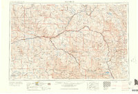
1960 · Leadville
USGS Topo · 1:250,000
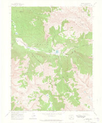
1960 · Marble
USGS Topo · 1:24,000
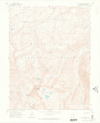
1960 · Capitol Peak
USGS Topo · 1:24,000
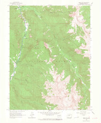
1960 · Redstone
USGS Topo · 1:24,000
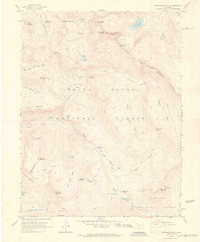
1960 · Snowmass Mountain
USGS Topo · 1:24,000
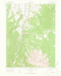
1961 · Mount Sopris
USGS Topo · 1:24,000
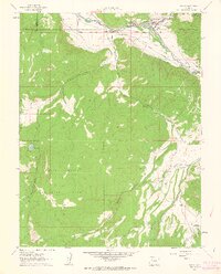
1961 · Basalt
USGS Topo · 1:24,000
1962 · Leadville
USGS Topo · 1:250,000