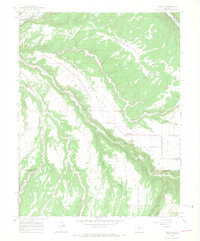
1964 Map of Redvale
USGS Topo · Published 1968About this map
Wright s Mesa dominates this 1964 survey of the high plateau country, showing the intersection of agricultural irrigation and the natural drainage of the San Miguel River canyon. The small settlement of Redvale serves as a focal point on the mesa, supported by an intricate network of water management features including the Gurley Ditch, Doing Ditch, and Lilylands Canal (North Lateral). These man-made improvements reflect the mid-century effort to sustain ranching and farming in this arid environment.
Find a feature on this map
22 named features on this map. Tap any name to fly to it.
Don’t see what you’re looking for? This feature index may not catch every label — zoom into the map to look around manually.
Map Details
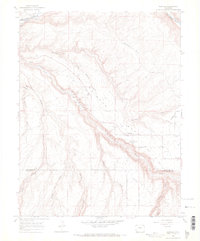
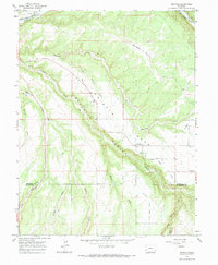
Editions of this 1964 Redvale Map
3 editions found
Other maps of this area

1916 · Paradox Valley
USGS Topo · 1:125,000

1922 · Paradox Valley
USGS Topo · 1:125,000

1956 · Moab
USGS Topo · 1:250,000

1959 · Moab
USGS Topo · 1:250,000

1960 · Moab
USGS Topo · 1:250,000
1960 · Nucla
USGS Topo · 1:24,000
1960 · Nucla
USGS Topo · 1:62,500

1962 · Moab
USGS Topo · 1:250,000

1964 · Moab
USGS Topo · 1:250,000
1964 · Basin
USGS Topo · 1:24,000