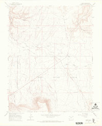
1964 Map of Basin
USGS Topo · Published 1968About this map
Young Ranch and the small settlement of Basin anchor this mid-century survey of the San Miguel County high country. The landscape is defined by the sweeping Dry Creek Basin and a network of deep drainages including Dry Creek Canyon and Broad Canyon. Water, always a critical resource in this arid terrain, is marked by features like the Poison Spider Spring and Cottonwood Pond, while a Gaging Sta on Dry Creek and a remote Landing Area near Nelson Creek indicate the infrastructure of the 1960s. Land use is further evidenced by a Gravel Pit and a solitary Drill Hole in the northern reach near The Burn. Ranching life and local transit are represented by the intersection at Beards Corner and an old Driveway that cuts across the basin floor toward the high ridges of Horse Park.
Find a feature on this map
22 named features on this map. Tap any name to fly to it.
Don’t see what you’re looking for? This feature index may not catch every label — zoom into the map to look around manually.
Map Details
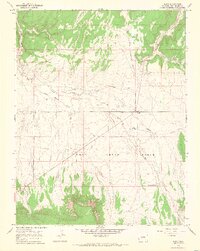
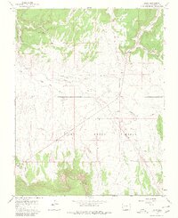
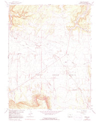
Editions of this 1964 Basin Map
4 editions found
Other maps of this area

1916 · Paradox Valley
USGS Topo · 1:125,000

1922 · Paradox Valley
USGS Topo · 1:125,000

1948 · Naturita NW
USGS Topo · 1:24,000

1948 · Gypsum Gap
USGS Topo · 1:24,000

1949 · Gypsum Gap
USGS Topo · 1:24,000

1949 · Naturita NW
USGS Topo · 1:24,000

1956 · Cortez
USGS Topo · 1:250,000

1956 · Moab
USGS Topo · 1:250,000

1958 · Cortez
USGS Topo · 1:250,000

1959 · Cortez
USGS Topo · 1:250,000