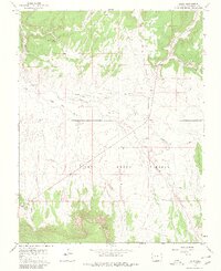
1964 Map of Basin
USGS Topo · Published 1980About this map
Dry Creek Basin dominates this landscape of the San Miguel region, showing a high-altitude drainage system defined by seasonal watercourses and remote ranching outposts. Small settlements like Basin and Beards Corner serve as focal points in an area where water sources such as Poison Spider Spring and Cottonwood Pond were critical for local movement and livestock. The 1963 aerial photography reveals a sparse infrastructure, marked by a lone Landing Area and a Gaging Sta, likely used for monitoring the flows of Dry Creek and its many tributaries like Dead Horse Creek. The terrain is deeply incised by Broad Canyon and East Broad Canyon, while the high ground of Horse Park overlooks the vast open basin. This mapping shows the intersection of natural resource management and isolated high-desert habitation during the mid-20th century.
Find a feature on this map
17 named features on this map. Tap any name to fly to it.
Don’t see what you’re looking for? This feature index may not catch every label — zoom into the map to look around manually.
Map Details
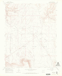
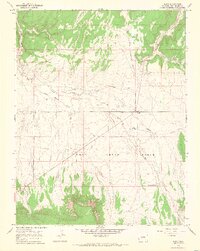
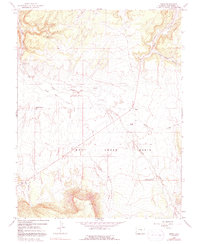
Editions of this 1964 Basin Map
4 editions found
Other maps of this area

1916 · Paradox Valley
USGS Topo · 1:125,000

1922 · Paradox Valley
USGS Topo · 1:125,000

1948 · Naturita NW
USGS Topo · 1:24,000

1948 · Gypsum Gap
USGS Topo · 1:24,000

1949 · Gypsum Gap
USGS Topo · 1:24,000

1949 · Naturita NW
USGS Topo · 1:24,000

1956 · Cortez
USGS Topo · 1:250,000

1956 · Moab
USGS Topo · 1:250,000

1958 · Cortez
USGS Topo · 1:250,000

1959 · Cortez
USGS Topo · 1:250,000