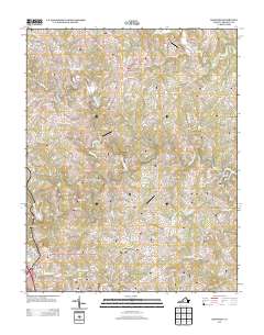
2013 Map of Redwood
USGS Topo · Published 2013About this map
Piedmont Mill and Dillons Mill stand as markers of the rural water-powered industry that once shaped this portion of Franklin County. Situated at the western edge of Smith Mountain Lake, the landscape is defined by the winding course of the Blackwater River and the Pigg River. These waterways are flanked by long-established communities like Redwood and Burnt Chimney, the latter featuring its own namesake Burnt Chimney Dairy and Burnt Chimney Airport.
Find a feature on this map
128 named features on this map. Tap any name to fly to it.
Don’t see what you’re looking for? This feature index may not catch every label — zoom into the map to look around manually.
Map Details
Editions of this 2013 Redwood Map
This is the sole edition of this map. No revisions or reprints were ever made.
Other maps of this area

1890 · Roanoke
USGS Topo · 1:125,000

1891 · Roanoke
USGS Topo · 1:125,000

1922 · Callands
USGS Topo · 1:48,000

1924 · Callands
USGS Topo · 1:62,500

1925 · Rocky Mount
USGS Topo · 1:48,000

1927 · Rocky Mount
USGS Topo · 1:62,500

1944 · Rocky Mount
USGS Topo · 1:62,500

1944 · Callands
USGS Topo · 1:62,500

1947 · Roanoke
USGS Topo · 1:250,000

1951 · Boones Mill
USGS Topo · 1:62,500