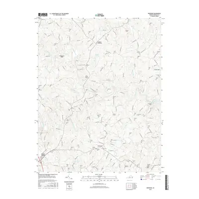
2016 Map of Redwood
USGS Topo · Published 2016About this map
The Pigg River and Blackwater River define the undulating landscape of Franklin County on this 2016 survey, where centuries of family history are preserved in dozens of small burial grounds. Small settlements like Redwood, Burnt Chimney, and Piedmont Mill anchor a rural road network that still reflects traditional land patterns, even as modern infrastructure like the Burnt Chimney Airport and Ferguson Airport have appeared. Local genealogists will find the density of family-named cemeteries particularly useful, including the Chestnut Grove, Poindexter, and Poteet cemeteries, which dot the ridges and valleys near Gills Creek. To the east, the map captures the transition to the water-dominated recreation area around Smith Mountain Lake, with landmarks like Venning's Landing and the Brooks Mill Bridge marking the points where old transit routes meet the rising waters of the reservoir.
Find a feature on this map
159 named features on this map. Tap any name to fly to it.
Don’t see what you’re looking for? This feature index may not catch every label — zoom into the map to look around manually.
Map Details
Editions of this 2016 Redwood Map
This is the sole edition of this map. No revisions or reprints were ever made.
Other maps of this area

1890 · Roanoke
USGS Topo · 1:125,000

1891 · Roanoke
USGS Topo · 1:125,000

1922 · Callands
USGS Topo · 1:48,000

1924 · Callands
USGS Topo · 1:62,500

1925 · Rocky Mount
USGS Topo · 1:48,000

1927 · Rocky Mount
USGS Topo · 1:62,500

1944 · Rocky Mount
USGS Topo · 1:62,500

1944 · Callands
USGS Topo · 1:62,500

1947 · Roanoke
USGS Topo · 1:250,000

1951 · Boones Mill
USGS Topo · 1:62,500