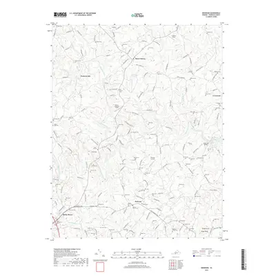
2019 Map of Redwood
USGS Topo · Published 2019About this map
Piedmont Mill and Burnt Chimney anchor this corner of Franklin County, where the Piedmont plateau meets the drainage basins of the Blackwater River and Pigg River. The landscape is defined by an intricate network of rural roads and family-named cemeteries, reflecting generations of continuous settlement in communities like Redwood and Flint Hill. Local aviation is represented by both Ferguson Airport and Burnt Chimney Airport, while the terrain rises toward the distinct peak of Preston Knob near Timber Ridge in the south. The prevalence of family burial grounds such as the Mitchell-Skinnell Cem and Bousman-Hodges Cem makes this sheet particularly valuable for tracing local lineages and the dispersal of early Virginia families across the tobacco-growing region.
Find a feature on this map
160 named features on this map. Tap any name to fly to it.
Don’t see what you’re looking for? This feature index may not catch every label — zoom into the map to look around manually.
Map Details
Editions of this 2019 Redwood Map
This is the sole edition of this map. No revisions or reprints were ever made.
Other maps of this area

1890 · Roanoke
USGS Topo · 1:125,000

1891 · Roanoke
USGS Topo · 1:125,000

1922 · Callands
USGS Topo · 1:48,000

1924 · Callands
USGS Topo · 1:62,500

1925 · Rocky Mount
USGS Topo · 1:48,000

1927 · Rocky Mount
USGS Topo · 1:62,500

1944 · Rocky Mount
USGS Topo · 1:62,500

1944 · Callands
USGS Topo · 1:62,500

1947 · Roanoke
USGS Topo · 1:250,000

1951 · Boones Mill
USGS Topo · 1:62,500