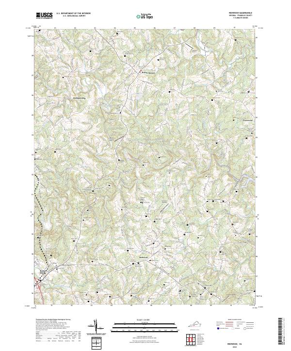
2022 Map of Redwood
USGS Topo · Published 2022About this map
Redwood and Burnt Chimney serve as central nodes in this Franklin County landscape, where the terrain is defined by the winding course of the Blackwater River and several of its tributaries. The map reveals a high density of family-owned legacy sites, with numerous graveyards such as the Altice Family Cem, Poindexter Family Cem, and John Dudley Family Cem dotting the countryside. These small, scattered burial grounds suggest a deeply rooted rural settlement pattern where property lines often followed the ridges and creeks of the Virginia Piedmont.
Find a feature on this map
168 named features on this map. Tap any name to fly to it.
Don’t see what you’re looking for? This feature index may not catch every label — zoom into the map to look around manually.
Map Details
Editions of this 2022 Redwood Map
This is the sole edition of this map. No revisions or reprints were ever made.
Other maps of this area

1890 · Roanoke
USGS Topo · 1:125,000

1891 · Roanoke
USGS Topo · 1:125,000

1922 · Callands
USGS Topo · 1:48,000

1924 · Callands
USGS Topo · 1:62,500

1925 · Rocky Mount
USGS Topo · 1:48,000

1927 · Rocky Mount
USGS Topo · 1:62,500

1944 · Rocky Mount
USGS Topo · 1:62,500

1944 · Callands
USGS Topo · 1:62,500

1947 · Roanoke
USGS Topo · 1:250,000

1951 · Boones Mill
USGS Topo · 1:62,500