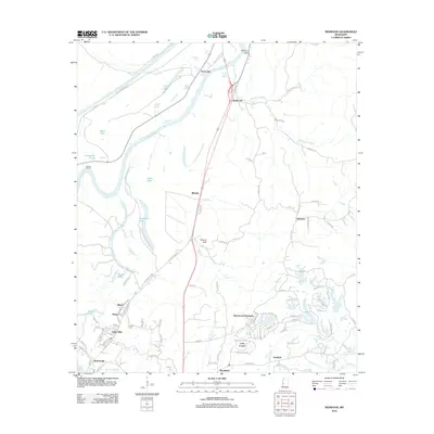
2012 Map of Redwood
USGS Topo · Published 2012About this map
Walnut Hills and the winding course of the Yazoo River define this corner of Warren County, where the landscape transitions from river bottomlands to the elevated terrain of Snyders Bluff. This 2012 survey captures the modern residential footprint of the area, showing developments like Openwood Plantation and Lake Forest alongside established communities such as Redwood and Blakely. The map preserves several points of genealogical interest, including Crocket Cem and the historical site at Rosetta Landing.
Find a feature on this map
104 named features on this map. Tap any name to fly to it.
Don’t see what you’re looking for? This feature index may not catch every label — zoom into the map to look around manually.
Map Details
Editions of this 2012 Redwood Map
This is the sole edition of this map. No revisions or reprints were ever made.
Other maps of this area

1918 · Vicksburg
USGS Topo · 1:62,500

1938 · Edwards
USGS Topo · 1:62,500

1939 · Onward
USGS Topo · 1:62,500

1940 · Mechanicsburg
USGS Topo · 1:62,500

1941 · Vicksburg
USGS Topo · 1:62,500

1955 · Jackson
USGS Topo · 1:250,000

1961 · Jackson
USGS Topo · 1:250,000

1962 · Jackson
USGS Topo · 1:250,000

1962 · Redwood
USGS Topo · 1:24,000

1962 · Vicksburg West
USGS Topo · 1:24,000