2018 Map of Redwood
USGS Topo · Published 2018About this map
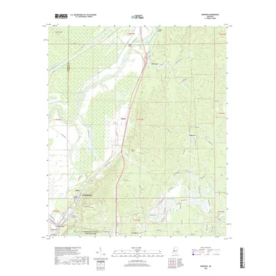
Vicksburg National Military Park dominates the southern landscape of this 2018 survey, preserving the terrain where crucial Civil War sieges unfolded. The northern boundary of Vicksburg is clearly delineated, showing the city's growth into neighborhoods like Kings and Walnut Hills. To the north, the Yazoo River winds through a complex system of bottomlands, oxbows, and wetlands, including Twin Lake, Horseshoe Lake, and Goose Lake. These features reveal the dynamic hydrological history of the Delta region, where the river's movement has shaped the land and its subsequent settlement.
Find a feature on this map
91 named features on this map. Tap any name to fly to it.
Don’t see what you’re looking for? This feature index may not catch every label — zoom into the map to look around manually.
Map Details
Editions of this 2018 Redwood Map
This is the sole edition of this map. No revisions or reprints were ever made.
Other maps of this area

1918 · Vicksburg
USGS Topo · 1:62,500

1938 · Edwards
USGS Topo · 1:62,500

1939 · Onward
USGS Topo · 1:62,500

1940 · Mechanicsburg
USGS Topo · 1:62,500

1941 · Vicksburg
USGS Topo · 1:62,500

1955 · Jackson
USGS Topo · 1:250,000

1961 · Jackson
USGS Topo · 1:250,000

1962 · Jackson
USGS Topo · 1:250,000

1962 · Redwood
USGS Topo · 1:24,000

1962 · Vicksburg West
USGS Topo · 1:24,000