Loading...
Loading map...2024 Map of Redwood
USGS Topo · Published 2024About this map
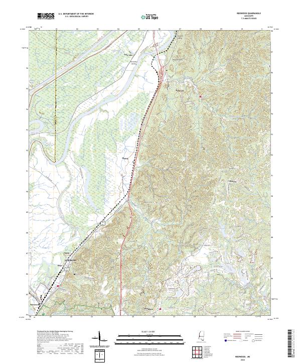
The Yazoo River dominates the northern reaches of this landscape, winding through low-lying bottomlands protected by Levee Rd and the Canal Rd. This area, characterized by a complex network of waterways like Chickasaw Bayou and Skilikalia Bayou, marks the sharp transition where the Delta floodplains meet the elevated terrain of Walnut Hills. Near Redwood, the topography rises abruptly at Snyders Bluff, a site of significant strategic importance overlooking the river.
Find a feature on this map
98 named features on this map. Tap any name to fly to it.
Don’t see what you’re looking for? This feature index may not catch every label — zoom into the map to look around manually.
Map Details
Date Portrayed2024
Date Published2024
PublisherU.S. Geological Survey
Map TypeTopographic
Scale1:24000
Physical Dimensions24 x 29 inches
Editions of this 2024 Redwood Map
This is the sole edition of this map. No revisions or reprints were ever made.
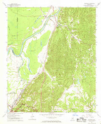
Historical Maps of Valley Mills Through Time
Featured Locations
Source Details
SourceU.S. Geological Survey
CopyrightPublic Domain