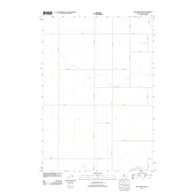
2012 Map of Ree Heights NW
USGS Topo · Published 2012About this map
Lake Louise anchors the southeast corner of this Hand County landscape, where the prairie is defined by a rigorous section-line road grid and intermittent watercourses. The drainage of Lost Cr meanders diagonally across the northern and central sections, providing a natural break in the geometric precision of the township's layout. This area, surveyed in 2012, remains deeply agricultural, with wide-ranging avenues such as 350th Ave and 353rd Ave connecting isolated farmsteads across the plains. Near the southern boundary, the headwaters of Wolf Cr begin to take shape, illustrating the subtle hydrology of the region before it moves toward larger drainage basins. The map captures a moment of modern continuity in South Dakota's rural infrastructure, where the legacy of the original homestead grid persists through named corridors like 190th St.
Find a feature on this map
17 named features on this map. Tap any name to fly to it.
Don’t see what you’re looking for? This feature index may not catch every label — zoom into the map to look around manually.
Map Details
Editions of this 2012 Ree Heights NW Map
This is the sole edition of this map. No revisions or reprints were ever made.
Other maps of this area

1949 · Ree Heights NW
USGS Topo · 1:24,000

1950 · Ree Heights SE
USGS Topo · 1:24,000

1950 · Highmore NE
USGS Topo · 1:24,000

1950 · Ree Heights
USGS Topo · 1:24,000

1950 · Highmore SE
USGS Topo · 1:24,000

1950 · Rezac Lake
USGS Topo · 1:24,000

1951 · Ree Heights NW
USGS Topo · 1:24,000

1951 · Orient SW
USGS Topo · 1:24,000

1951 · Rezac Lake
USGS Topo · 1:24,000

1951 · Polo
USGS Topo · 1:24,000