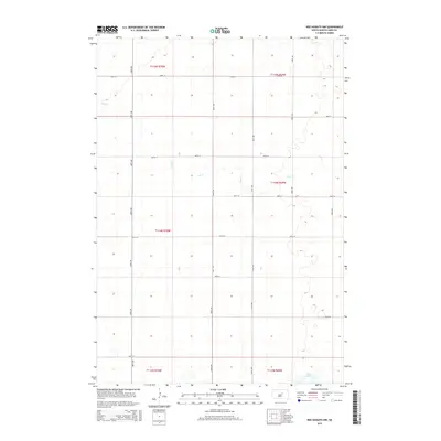
2015 Map of Ree Heights NW
USGS Topo · Published 2015About this map
Lake Louise anchors the southern reaches of this Hand County landscape, where the prairie topography is defined by the winding course of Lost Cr. This 2015 U.S. Geological Survey representation shows a region dominated by the Public Land Survey System, with township lines like t114n r69w and t115n r70w carving the plains into a regular grid. The area is characterized by its organized rural infrastructure, featuring a network of section-line roads including 348th Ave and 350th Ave that facilitate movement across the agricultural heartland. The relationship between the natural drainage of Lost Cr and the rigid man-made boundaries provides a clear picture of how South Dakota's interior was systematically organized for ranching and farming operations in the early 21st century.
Find a feature on this map
21 named features on this map. Tap any name to fly to it.
Don’t see what you’re looking for? This feature index may not catch every label — zoom into the map to look around manually.
Map Details
Editions of this 2015 Ree Heights NW Map
This is the sole edition of this map. No revisions or reprints were ever made.
Other maps of this area

1949 · Ree Heights NW
USGS Topo · 1:24,000

1950 · Ree Heights SE
USGS Topo · 1:24,000

1950 · Highmore NE
USGS Topo · 1:24,000

1950 · Ree Heights
USGS Topo · 1:24,000

1950 · Highmore SE
USGS Topo · 1:24,000

1950 · Rezac Lake
USGS Topo · 1:24,000

1951 · Ree Heights NW
USGS Topo · 1:24,000

1951 · Orient SW
USGS Topo · 1:24,000

1951 · Rezac Lake
USGS Topo · 1:24,000

1951 · Polo
USGS Topo · 1:24,000