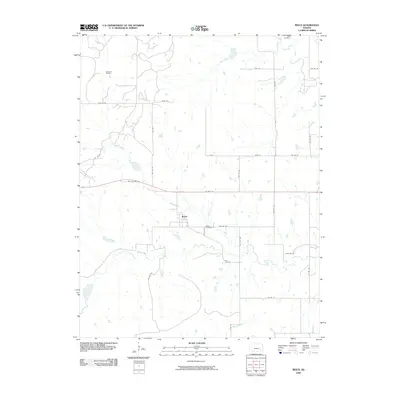
2009 Map of Reece
USGS Topo · Published 2009About this map
Reece sits as the central settlement in this portion of Greenwood County, positioned along the corridor of US Hwy 54. The surrounding landscape is defined by the headwaters and branches of several drainage systems, including Coon Creek, Burnt Creek, and Spring Creek, which carve subtle paths through the prairie. To the northwest, the Sallyards Oil Field indicates the region's historical reliance on mineral extraction, a common economic driver in this part of Kansas. Local heritage is anchored by sites such as Ladd Cemetery in the northeast and Reece Cemetery just east of the main townsite. The road network shows a transition from modern thoroughfares to older routes like Old US Hwy 54, while the grid of township roads, such as Twp Rd 36 and Co Rd 25, provides access to the family farms and ranch lands that have long characterized the local community.
Find a feature on this map
35 named features on this map. Tap any name to fly to it.
Don’t see what you’re looking for? This feature index may not catch every label — zoom into the map to look around manually.
Map Details
Editions of this 2009 Reece Map
This is the sole edition of this map. No revisions or reprints were ever made.
Other maps of this area

1885 · Eureka
USGS Topo · 1:125,000

1888 · Eureka
USGS Topo · 1:125,000

1888 · Eldorado
USGS Topo · 1:125,000

1894 · Eureka
USGS Topo · 1:125,000

1955 · Wichita
USGS Topo · 1:250,000

1958 · Wichita
USGS Topo · 1:250,000

1961 · Rosalia NE
USGS Topo · 1:24,000

1961 · Rosalia
USGS Topo · 1:24,000

1964 · Piedmont NW
USGS Topo · 1:24,000

1964 · Beaumont
USGS Topo · 1:24,000