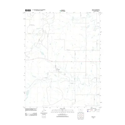
2012 Map of Reece
USGS Topo · Published 2012About this map
Reece anchors this rural landscape in Greenwood County, where a grid of township and county roads connects remote farmsteads and agricultural operations. The community center is defined by Main St and Fast St, with the Reece Cem situated just to the southeast. To the northwest, the Sallyards Oil Field indicates the long-standing role of the petroleum industry in this section of the Kansas plains. A network of prairie waterways, including Spring Cr, Burnt Cr, and the W Br Fall River, meanders through the terrain, dictating the placement of bridges and the shape of the land. This survey provides a clear view of the intersection between traditional ranching country and the infrastructure required for regional oil production.
Find a feature on this map
34 named features on this map. Tap any name to fly to it.
Don’t see what you’re looking for? This feature index may not catch every label — zoom into the map to look around manually.
Map Details
Editions of this 2012 Reece Map
This is the sole edition of this map. No revisions or reprints were ever made.
Other maps of this area

1885 · Eureka
USGS Topo · 1:125,000

1888 · Eureka
USGS Topo · 1:125,000

1888 · Eldorado
USGS Topo · 1:125,000

1894 · Eureka
USGS Topo · 1:125,000

1955 · Wichita
USGS Topo · 1:250,000

1958 · Wichita
USGS Topo · 1:250,000

1961 · Rosalia NE
USGS Topo · 1:24,000

1961 · Rosalia
USGS Topo · 1:24,000

1964 · Piedmont NW
USGS Topo · 1:24,000

1964 · Beaumont
USGS Topo · 1:24,000