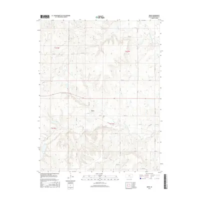
2015 Map of Reece
USGS Topo · Published 2015About this map
Reece anchors this portion of Greenwood County, situated along the path of Old Us Hwy 54. This 2015 record reflects a landscape defined by its riparian network, where the headwaters of the West Branch Fall River and various tributaries like Coon Cr and Burnt Cr carve through the terrain. The settlement pattern is characterized by a precise grid of township roads, including 165th Rd and 150th St, which serve the agricultural parcels of this prairie region. To the east of the primary cluster of homes, the Reece Cem stands as a significant genealogical landmark for those tracing local family histories. Further south, the drainage of Spring Cr and its branches like Watson Br highlight the importance of water access in the development of these rural Kansas townships.
Find a feature on this map
42 named features on this map. Tap any name to fly to it.
Don’t see what you’re looking for? This feature index may not catch every label — zoom into the map to look around manually.
Map Details
Editions of this 2015 Reece Map
This is the sole edition of this map. No revisions or reprints were ever made.
Other maps of this area

1885 · Eureka
USGS Topo · 1:125,000

1888 · Eureka
USGS Topo · 1:125,000

1888 · Eldorado
USGS Topo · 1:125,000

1894 · Eureka
USGS Topo · 1:125,000

1955 · Wichita
USGS Topo · 1:250,000

1958 · Wichita
USGS Topo · 1:250,000

1961 · Rosalia NE
USGS Topo · 1:24,000

1961 · Rosalia
USGS Topo · 1:24,000

1964 · Piedmont NW
USGS Topo · 1:24,000

1964 · Beaumont
USGS Topo · 1:24,000