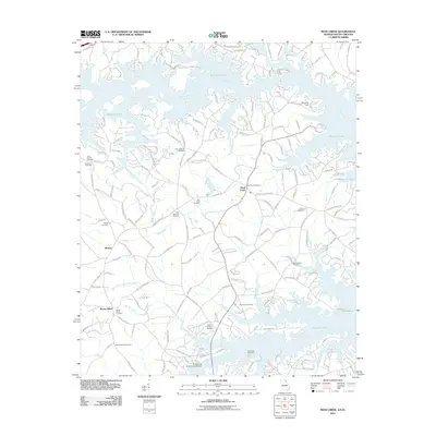
2011 Map of Reed Creek
USGS Topo · Published 2011About this map
Hartwell Lake dominates the landscape of this Georgia-South Carolina border region, its intricate, branching arms flooding the ancient valley of the Tugaloo River. The rural community of Reed Creek serves as the focal point for a landscape defined by its transition from agricultural hinterland to a recreation-oriented shoreline. While new residential developments like Fairplay Heights Circle and River Lake Road rim the northern waters, the interior remains deeply rooted in local lineage.
Find a feature on this map
177 named features on this map. Tap any name to fly to it.
Don’t see what you’re looking for? This feature index may not catch every label — zoom into the map to look around manually.
Map Details
Editions of this 2011 Reed Creek Map
This is the sole edition of this map. No revisions or reprints were ever made.
Other maps of this area

1886 · Walhalla
USGS Topo · 1:125,000

1888 · Pickens
USGS Topo · 1:125,000

1891 · Carnesville
USGS Topo · 1:125,000

1892 · Walhalla
USGS Topo · 1:125,000

1893 · Elberton
USGS Topo · 1:125,000

1894 · Pickens
USGS Topo · 1:125,000

1896 · Walhalla
USGS Topo · 1:125,000

1950 · La France
USGS Topo · 1:24,000

1951 · La France
USGS Topo · 1:24,000

1954 · Greenville
USGS Topo · 1:250,000