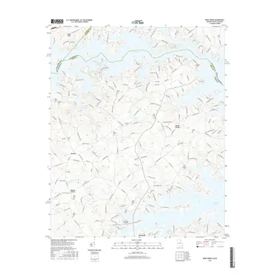
2017 Map of Reed Creek
USGS Topo · Published 2017About this map
The Tugaloo River and the expansive reaches of Hartwell Lake dominate this landscape along the border of Georgia and South Carolina. This 2017 edition documents the highly developed shoreline of the reservoir, where countless residential roads like Tugaloo Heights Cir and Clearwater Shores Rd have replaced the former river valley bottomlands. Despite this modern transformation, the map preserves the locations of numerous historic rural burial grounds that remain as vestiges of the area's agricultural past, including New Harmony Cem, Byrum Cem, and Mount Vernon Cem.
Find a feature on this map
187 named features on this map. Tap any name to fly to it.
Don’t see what you’re looking for? This feature index may not catch every label — zoom into the map to look around manually.
Map Details
Editions of this 2017 Reed Creek Map
This is the sole edition of this map. No revisions or reprints were ever made.
Other maps of this area

1886 · Walhalla
USGS Topo · 1:125,000

1888 · Pickens
USGS Topo · 1:125,000

1891 · Carnesville
USGS Topo · 1:125,000

1892 · Walhalla
USGS Topo · 1:125,000

1893 · Elberton
USGS Topo · 1:125,000

1894 · Pickens
USGS Topo · 1:125,000

1896 · Walhalla
USGS Topo · 1:125,000

1950 · La France
USGS Topo · 1:24,000

1951 · La France
USGS Topo · 1:24,000

1954 · Greenville
USGS Topo · 1:250,000