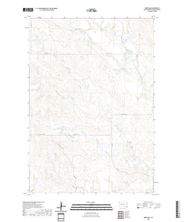
2021 Map of Reed Dam
USGS Topo · Published 2021About this map
The high plains of Meade County are defined here by an intricate drainage system feeding into Middle Cr and W Middle Cr. The landscape is etched with the courses of Stony Butte Cr, Brushy Cr, and Johnny Cr, all converging in a region where water management is central to the land's utility. A primary focal point is Reed Dam, a critical piece of water infrastructure situated in the northeastern portion of the quadrangle.
Find a feature on this map
21 named features on this map. Tap any name to fly to it.
Don’t see what you’re looking for? This feature index may not catch every label — zoom into the map to look around manually.
Map Details
Editions of this 2021 Reed Dam Map
This is the sole edition of this map. No revisions or reprints were ever made.
Other maps of this area

1953 · Rapid City
USGS Topo · 1:250,000

1957 · Rapid City
USGS Topo · 1:250,000

1983 · Lemmon Butte
USGS Topo · 1:24,000
1983 · Avance SE
USGS Topo · 1:24,000
1983 · Avance
USGS Topo · 1:24,000
1983 · Lemmon Creek
USGS Topo · 1:24,000
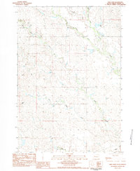
1983 · Reed Dam
USGS Topo · 1:24,000
1983 · Durkee Lake
USGS Topo · 1:24,000

1983 · Marcus
USGS Topo · 1:24,000
1983 · Opal East SE
USGS Topo · 1:24,000