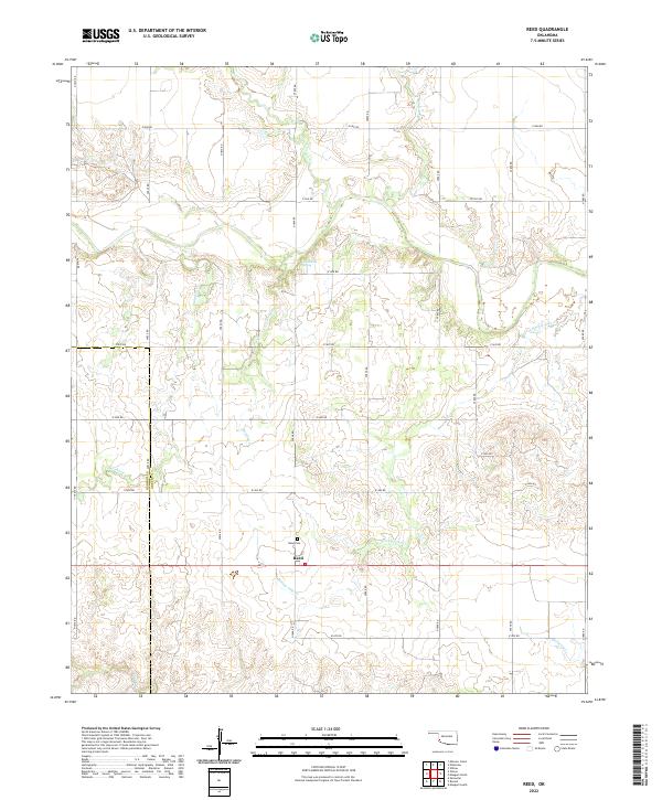
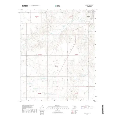
2022 Map of Reed
USGS Topo · Published 2022About this map
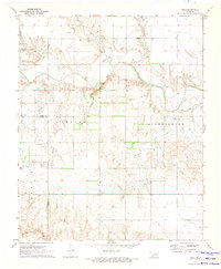
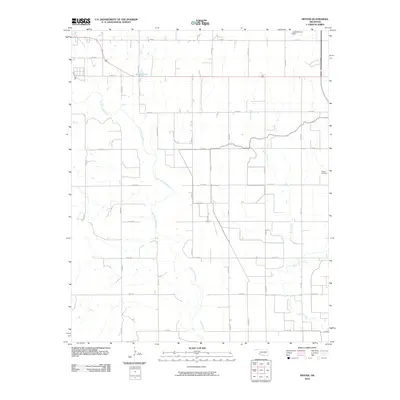
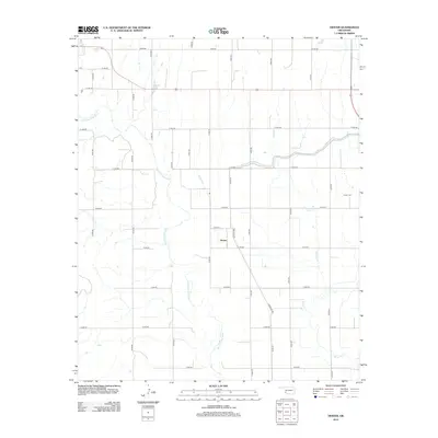
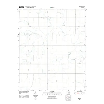
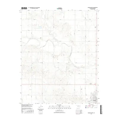
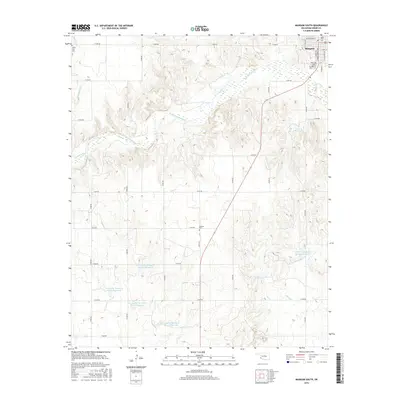
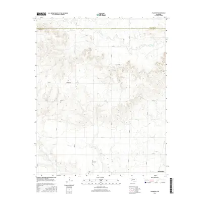
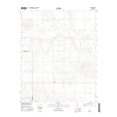
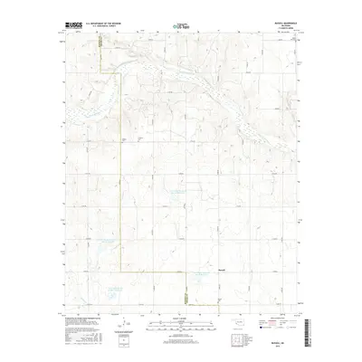
Reed is a central focal point in this 2022 survey of western Greer County, Oklahoma, situated near the headwaters of several drainage systems. The landscape is defined by the carved paths of Sleepy John Cr, Sulphur Cr, and Smedley Cr, which weave through the sectioned agricultural grid. The presence of Jay Buckle Spring and the Reed Cem provides a direct connection to the early settlement history of the region.
Find a feature on this map
31 named features on this map. Tap any name to fly to it.
Don’t see what you’re looking for? This feature index may not catch every label — zoom into the map to look around manually.
Map Details
Editions of this 2022 Reed Map
This is the sole edition of this map. No revisions or reprints were ever made.
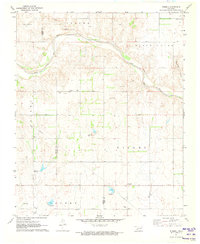
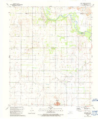
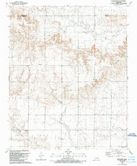
Historical Maps of Reed Through Time
42 maps found
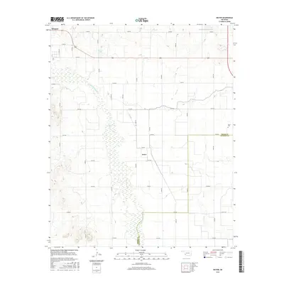
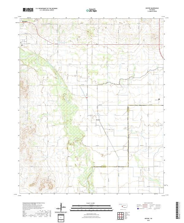
1971 Hester
Greer County, OK
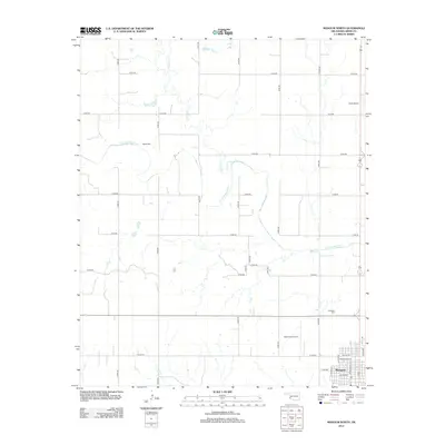
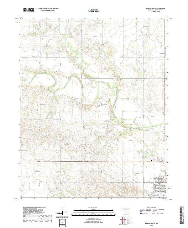
1971 Mangum North
Greer County, OK
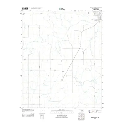
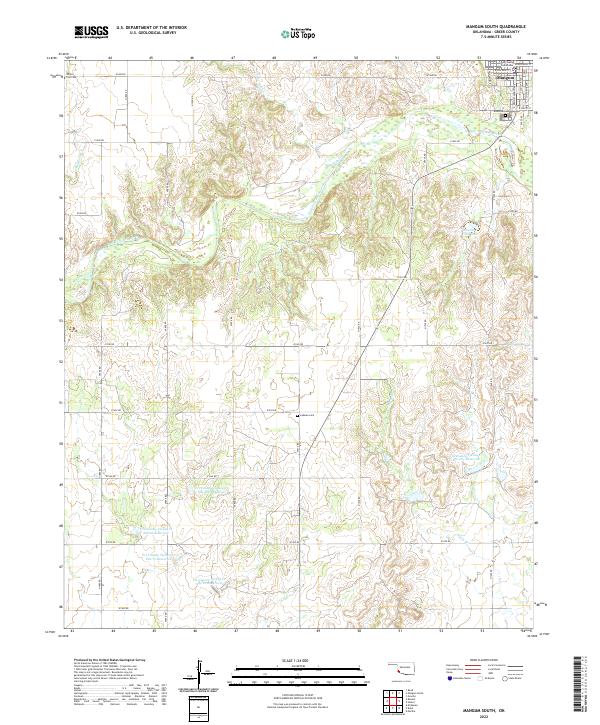
1971 Mangum South
Greer County, OK
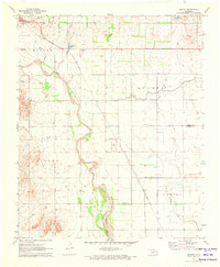
1971 Reed
Greer County, OK
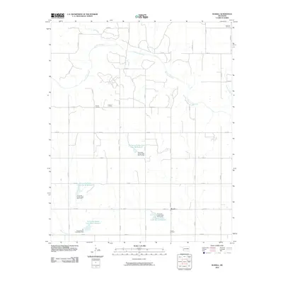
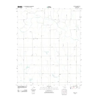
1971 Russell
Greer County, OK
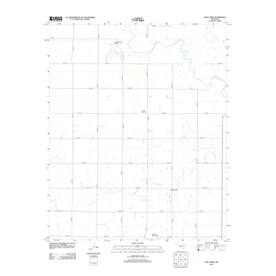
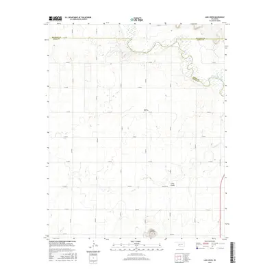
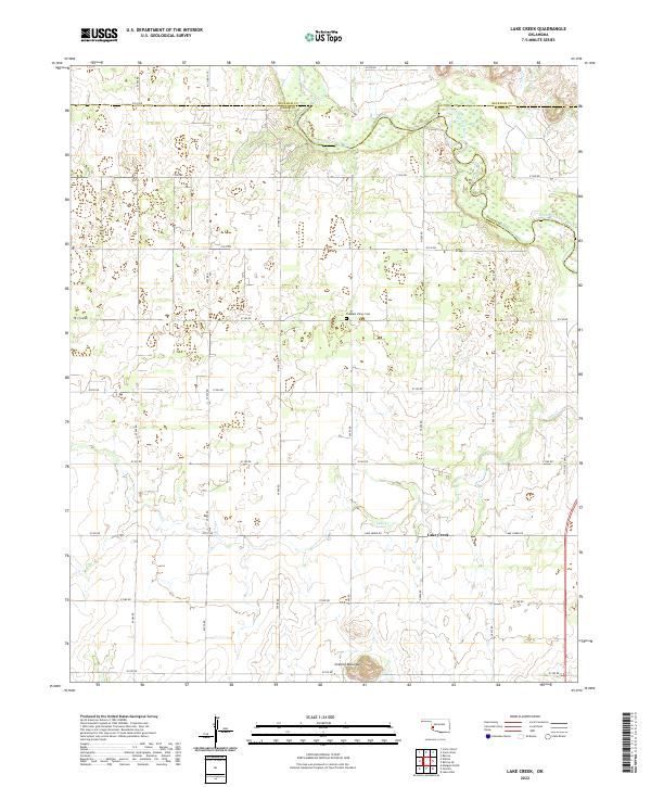
1989 Lake Creek
Greer County, OK
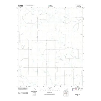
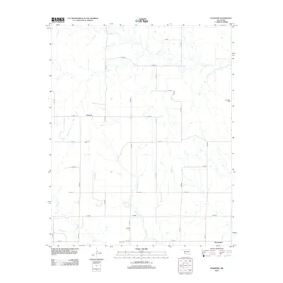
1989 Plainview
Greer County, OK
2010 Hester
Greer County, OK
2010 Lake Creek
Greer County, OK
2010 Mangum North
Greer County, OK
2010 Mangum South
Greer County, OK
2010 Plainview
Greer County, OK
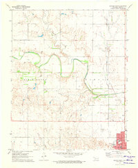
2010 Reed
Greer County, OK
2010 Russell
Greer County, OK
2012 Hester
Greer County, OK
2012 Lake Creek
Greer County, OK
2012 Mangum North
Greer County, OK
2012 Mangum South
Greer County, OK
2012 Plainview
Greer County, OK
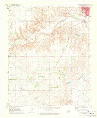
2012 Reed
Greer County, OK
2012 Russell
Greer County, OK
2016 Hester
Greer County, OK
2016 Lake Creek
Greer County, OK
2016 Mangum North
Greer County, OK
2016 Mangum South
Greer County, OK
2016 Plainview
Greer County, OK
2016 Reed
Greer County, OK
2016 Russell
Greer County, OK
2018 Hester
Greer County, OK
2018 Lake Creek
Greer County, OK
2018 Mangum North
Greer County, OK
2018 Mangum South
Greer County, OK
2018 Plainview
Greer County, OK
2018 Reed
Greer County, OK
2018 Russell
Greer County, OK
2022 Hester
Greer County, OK
2022 Lake Creek
Greer County, OK
2022 Mangum North
Greer County, OK
2022 Mangum South
Greer County, OK
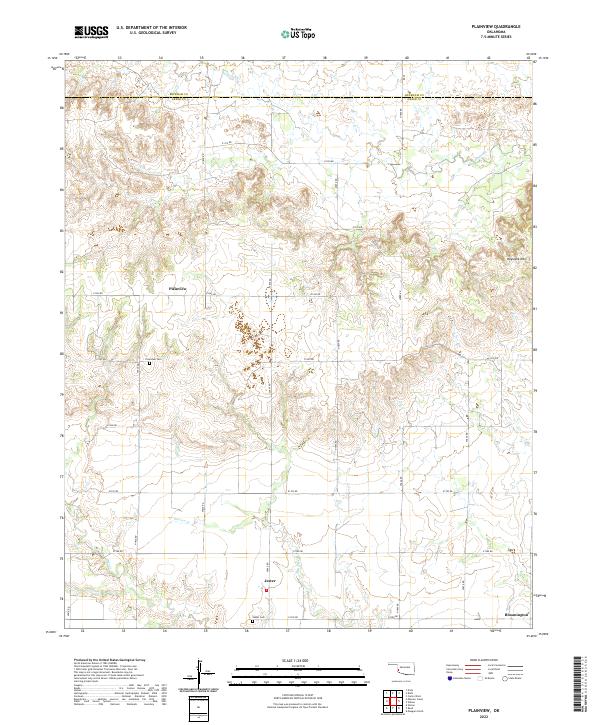
2022 Plainview
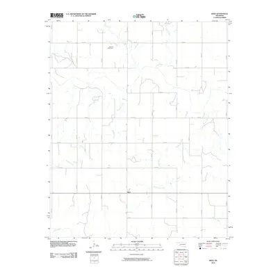
Greer County, OK
2022 Reed
Greer County, OK
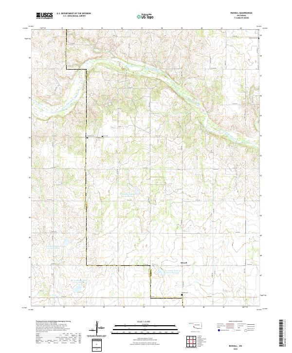
2022 Russell
Greer County, OK