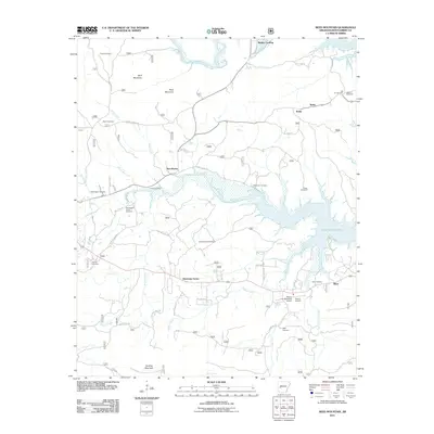
2011 Map of Reed Mountain
USGS Topo · Published 2011About this map
Lake Ouachita dominates the eastern landscape of this Montgomery County region, where the reservoir waters meet the drainages of the Ouachita River and the South Fork Ouachita River. Small settlements and family landing points like Buddys Landing, Sweethome, and Silver are connected by a network of rural routes such as High Shoals Rd and Sweet Home Rd. The area is notably dense with family burial grounds, including the Whittington Cemetery, James Cemetery, and Blish Cemetery, which serve as vital markers for genealogical research in this part of Arkansas.
Find a feature on this map
55 named features on this map. Tap any name to fly to it.
Don’t see what you’re looking for? This feature index may not catch every label — zoom into the map to look around manually.
Map Details
Editions of this 2011 Reed Mountain Map
This is the sole edition of this map. No revisions or reprints were ever made.
Other maps of this area

1890 · Mount Ida
USGS Topo · 1:125,000

1890 · Hot Springs
USGS Topo · 1:125,000

1894 · Hot Springs
USGS Topo · 1:125,000

1906 · Caddo Gap
USGS Topo · 1:125,000

1936 · Glenwood
USGS Topo · 1:48,000

1942 · Glenwood
USGS Topo · 1:62,500

1949 · Glenwood
USGS Topo · 1:62,500

1955 · Little Rock
USGS Topo · 1:250,000

1956 · Little Rock
USGS Topo · 1:250,000

1959 · Mount Ida
USGS Topo · 1:62,500