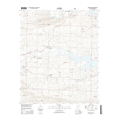
2014 Map of Reed Mountain
USGS Topo · Published 2014About this map
Mount Ida serves as a primary hub in this portion of the Ouachita National Forest, where the landscape is defined by the winding course of the Ouachita River and its major tributaries like the S Fork Ouachita River. The topography is marked by significant elevations such as Reed Mountain and Gardner Mtn, which frame the valleys where small settlements and rural homesteads have persisted for generations.
Find a feature on this map
65 named features on this map. Tap any name to fly to it.
Don’t see what you’re looking for? This feature index may not catch every label — zoom into the map to look around manually.
Map Details
Editions of this 2014 Reed Mountain Map
This is the sole edition of this map. No revisions or reprints were ever made.
Other maps of this area

1890 · Mount Ida
USGS Topo · 1:125,000

1890 · Hot Springs
USGS Topo · 1:125,000

1894 · Hot Springs
USGS Topo · 1:125,000

1906 · Caddo Gap
USGS Topo · 1:125,000

1936 · Glenwood
USGS Topo · 1:48,000

1942 · Glenwood
USGS Topo · 1:62,500

1949 · Glenwood
USGS Topo · 1:62,500

1955 · Little Rock
USGS Topo · 1:250,000

1956 · Little Rock
USGS Topo · 1:250,000

1959 · Mount Ida
USGS Topo · 1:62,500