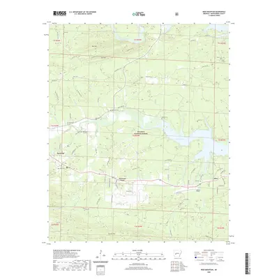
2020 Map of Reed Mountain
USGS Topo · Published 2020About this map
Mount Ida and the eastern stretches of the Ouachita National Forest define this area of Montgomery County, where the terrain is marked by significant ridges and ridges like Reed Mtn and Wolf Mtn. The landscape is shaped by the Ouachita River and the expansive waters of Lake Ouachita, which draw a complex shoreline through the central part of the quadrangle. For genealogists and local historians, the map reveals a dense network of family-named burial sites, including Whittington Hiram Cem, Sweethome Cem, and James Cem, indicating the long-standing community roots in the valley between the mountains and the river.
Find a feature on this map
74 named features on this map. Tap any name to fly to it.
Don’t see what you’re looking for? This feature index may not catch every label — zoom into the map to look around manually.
Map Details
Editions of this 2020 Reed Mountain Map
This is the sole edition of this map. No revisions or reprints were ever made.
Other maps of this area

1890 · Mount Ida
USGS Topo · 1:125,000

1890 · Hot Springs
USGS Topo · 1:125,000

1894 · Hot Springs
USGS Topo · 1:125,000

1906 · Caddo Gap
USGS Topo · 1:125,000

1936 · Glenwood
USGS Topo · 1:48,000

1942 · Glenwood
USGS Topo · 1:62,500

1949 · Glenwood
USGS Topo · 1:62,500

1955 · Little Rock
USGS Topo · 1:250,000

1956 · Little Rock
USGS Topo · 1:250,000

1959 · Mount Ida
USGS Topo · 1:62,500