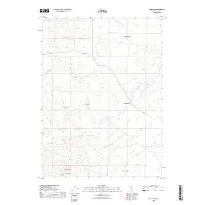
2018 Map of Reed Station
USGS Topo · Published 2018About this map
Reed Station sits at a geographic crossroads in Elko County where the terrain of the Independence Mountains begins to yield to the drainages of the high desert. This 2018 survey by the U.S. Geological Survey documents a landscape defined by its vital water sources and varied topography, featuring landmarks such as Lone Mtn and Nannies Peak. The map highlights the reliance on natural springs and creeks in this arid environment, with Hot Spring and Ruin Springs marking essential points on the map. The drainage patterns of McClellan Cr, Eagle Rock Cr, and Hot Spring Cr carve through the foothills, while the Reed Reservoir provides a central reference for water management. High plateaus like Telegraph Flat and distinctive outcrops like Eagle Rock provide clear vantage points across this high-altitude cattle country and mining region.
Find a feature on this map
24 named features on this map. Tap any name to fly to it.
Don’t see what you’re looking for? This feature index may not catch every label — zoom into the map to look around manually.
Map Details
Editions of this 2018 Reed Station Map
This is the sole edition of this map. No revisions or reprints were ever made.
Other maps of this area

1955 · McDermitt
USGS Topo · 1:250,000

1955 · Wells
USGS Topo · 1:250,000

1956 · Tuscarora
USGS Topo · 1:62,500

1958 · Wells
USGS Topo · 1:250,000

1958 · Singletree Creek
USGS Topo · 1:24,000

1958 · Blue Basin
USGS Topo · 1:24,000

1959 · McDermitt
USGS Topo · 1:250,000

1961 · Wells
USGS Topo · 1:250,000

1970 · Stampede Ranch
USGS Topo · 1:24,000

1971 · Mahala Creek West
USGS Topo · 1:24,000