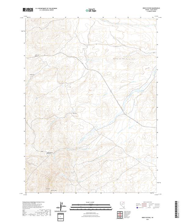
2021 Map of Reed Station
USGS Topo · Published 2021About this map
The Independence Mountains dominate the western portion of this high-desert landscape in Elko County, rising above the Valley of the North Fork. Significant peaks including Lone Mtn and Nannies Peak mark the southern reach of the range, providing a rugged vertical contrast to the grazing and water-rights infrastructure found below. Water management is a central theme of the topography, evidenced by the central Reed Reservoir and a network of named drainages like McClellan Cr, Hot Spring Cr, and Fordman Cr. Historically utilized for ranching and transit, the area features seasonal water sources such as Fox Springs and Ruin Springs. The inclusion of Telegraph Flat and Eagle Rock further identifies the traditional landmarks used for navigation in this corner of the Great Basin.
Find a feature on this map
22 named features on this map. Tap any name to fly to it.
Don’t see what you’re looking for? This feature index may not catch every label — zoom into the map to look around manually.
Map Details
Editions of this 2021 Reed Station Map
This is the sole edition of this map. No revisions or reprints were ever made.
Other maps of this area

1955 · McDermitt
USGS Topo · 1:250,000

1955 · Wells
USGS Topo · 1:250,000

1956 · Tuscarora
USGS Topo · 1:62,500

1958 · Wells
USGS Topo · 1:250,000

1958 · Singletree Creek
USGS Topo · 1:24,000

1958 · Blue Basin
USGS Topo · 1:24,000

1959 · McDermitt
USGS Topo · 1:250,000

1961 · Wells
USGS Topo · 1:250,000

1970 · Stampede Ranch
USGS Topo · 1:24,000

1971 · Mahala Creek West
USGS Topo · 1:24,000