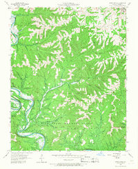
1956 Map of Reeds Spring
USGS Topo · Published 1968About this map
Reeds Spring sits at the northeastern edge of a landscape defined by the deep incisions of the James River and Flat Creek. In the mid-1950s, this portion of Stone County remained heavily wooded, with much of the southern territory preserved within the Mark Twain National Forest. The map documents a rural economy tied to the land's difficult topography, where narrow hollows like Devil Den Hollow and Coon Creek Hollow separate high ridges and bluffs. A network of family-named landmarks and essential community nodes, such as Stallion Sch and Allen Ch, provides a clear view of the area's mid-century social geography. The presence of several remote burial sites, including Oswalt Cem and Sheppard Cem, reflects the long-standing settlement patterns along the river bends and upland pastures before significant modern development altered the region.
Find a feature on this map
43 named features on this map. Tap any name to fly to it.
Don’t see what you’re looking for? This feature index may not catch every label — zoom into the map to look around manually.
Map Details
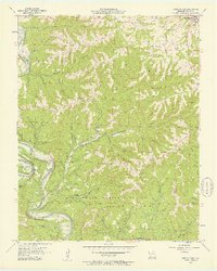
Editions of this 1956 Reeds Spring Map
2 editions found
Other maps of this area

1907 · Forsyth
USGS Topo · 1:125,000

1927 · Shell Knob
USGS Topo · 1:62,500

1942 · Aurora
USGS Topo · 1:62,500

1945 · Harrison
USGS Topo · 1:250,000

1945 · Aurora
USGS Topo · 1:62,500

1949 · Harrison
USGS Topo · 1:250,000

1950 · Shell Knob
USGS Topo · 1:62,500

1950 · Garber
USGS Topo · 1:24,000

1954 · Harrison
USGS Topo · 1:250,000

1956 · Lampe
USGS Topo · 1:24,000