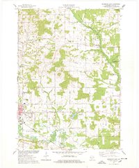
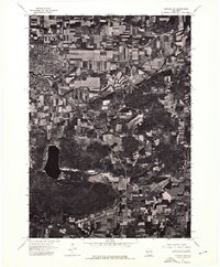
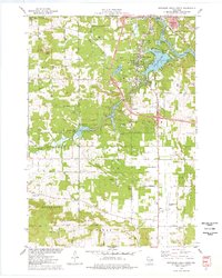
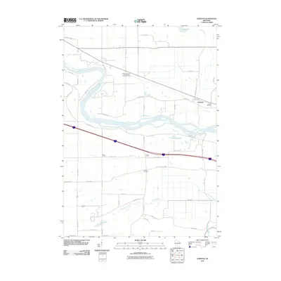
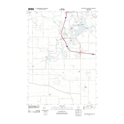
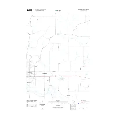
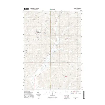
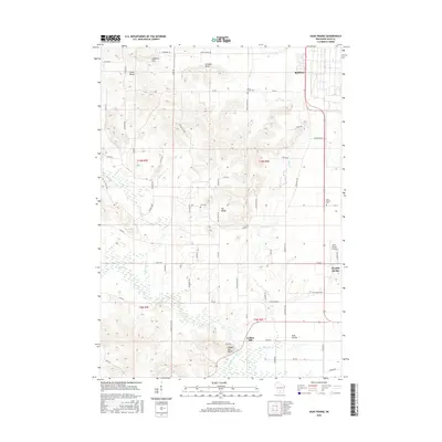
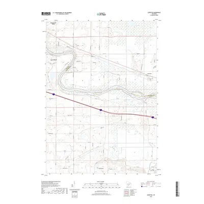
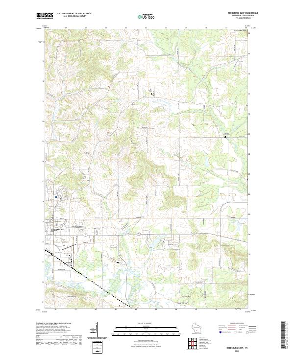
1975 Map of Reedsburg East
USGS Topo · Published 1978About this map
The Baraboo River winds through the southern landscape of Sauk County, serving as a primary geographic anchor for the city of Reedsburg during the mid-1970s. This period captures a balance between municipal expansion and the preservation of the driftless area's natural contours. The city's infrastructure is well-defined by the Chicago and North Western railroad line and the Reedsburg Municipal Airport, while the northern portion of the map is dominated by the sprawling wetlands of the Dell Creek State Wildlife Area. Local genealogy is well-preserved through several burial sites including Glenwood Cem and All Saints Cem. Notable elevations like Rattlesnake Knob and Coon Bluff define the northeastern horizon, while the transition from agricultural tracts to the growing outskirts of the city is evident in the placement of the Middle Sch and Reedsburg Memorial Hospital.
Find a feature on this map
48 named features on this map. Tap any name to fly to it.
Don’t see what you’re looking for? This feature index may not catch every label — zoom into the map to look around manually.
Map Details
Editions of this 1975 Reedsburg East Map
2 editions found
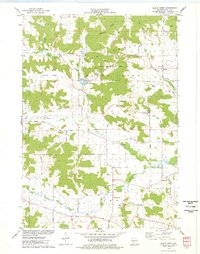
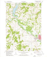
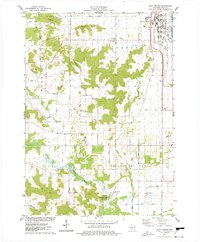
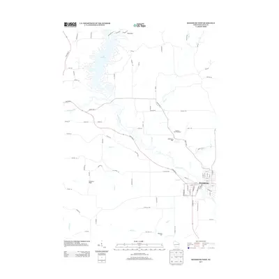
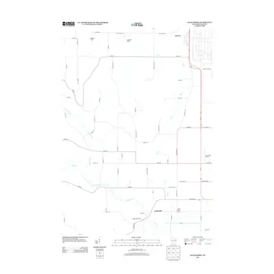
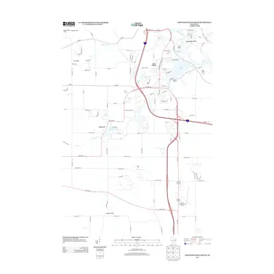
Historical Maps of Reedsburg Through Time
45 maps found
1901 Denzer
Sauk County, WI
1901 The Dells
Sauk County, WI
1974 Baraboo NW
Sauk County, WI
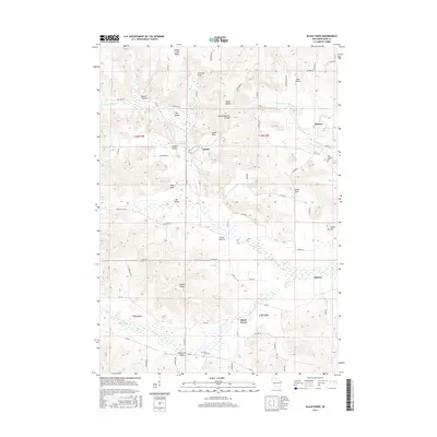
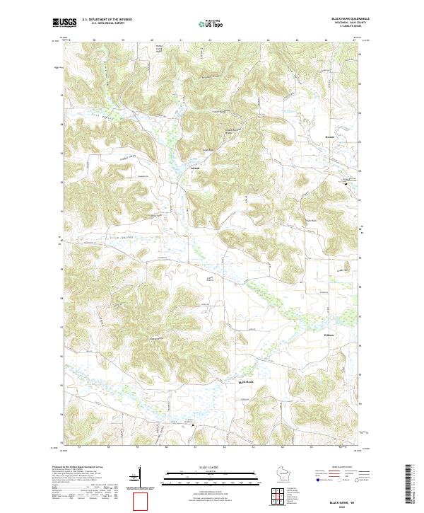
1975 Black Hawk
Sauk County, WI

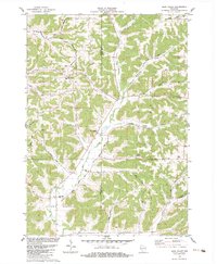
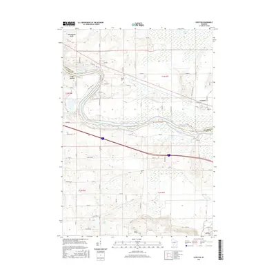
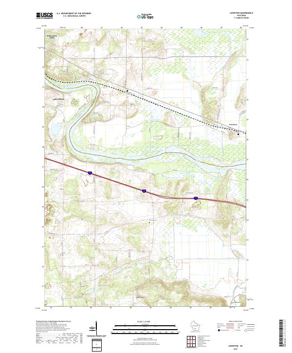
1975 Lewiston
Sauk County, WI
1975 Reedsburg East
Sauk County, WI
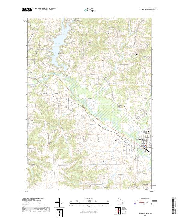
1975 Reedsburg West
Sauk County, WI
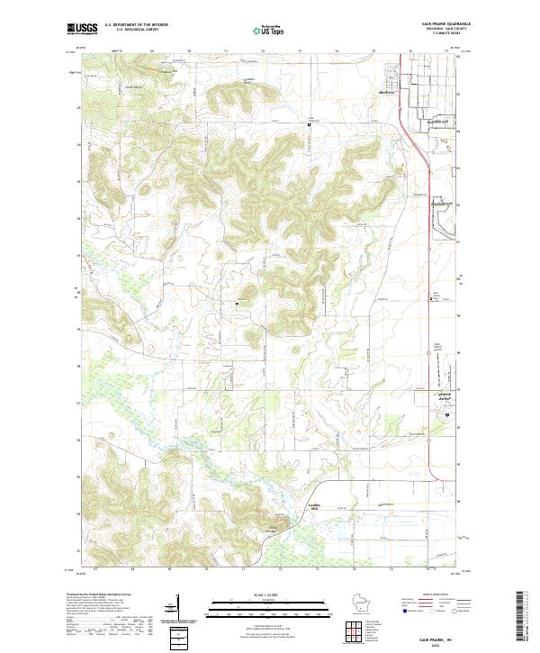
1975 Sauk Prairie
Sauk County, WI
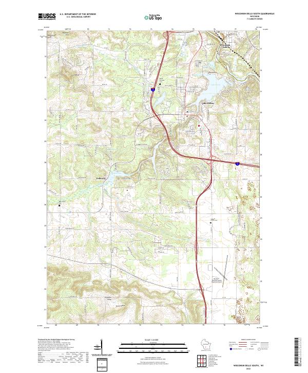
1975 Wisconsin Dells South
Sauk County, WI
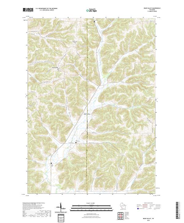
1983 Bear Valley
Sauk County, WI
2010 Bear Valley
Sauk County, WI
2010 Black Hawk
Sauk County, WI
2010 Lewiston
Sauk County, WI
2010 Reedsburg East
Sauk County, WI
2010 Reedsburg West
Sauk County, WI
2010 Sauk Prairie
Sauk County, WI
2010 Wisconsin Dells South
Sauk County, WI
2013 Bear Valley
Sauk County, WI
2013 Black Hawk
Sauk County, WI
2013 Lewiston
Sauk County, WI
2013 Reedsburg East
Sauk County, WI
2013 Reedsburg West
Sauk County, WI
2013 Sauk Prairie
Sauk County, WI
2013 Wisconsin Dells South
Sauk County, WI
2016 Bear Valley
Sauk County, WI
2016 Black Hawk
Sauk County, WI
2016 Lewiston
Sauk County, WI
2016 Reedsburg East
Sauk County, WI

2016 Reedsburg West
Sauk County, WI
2016 Sauk Prairie
Sauk County, WI
2016 Wisconsin Dells South
Sauk County, WI
2018 Bear Valley
Sauk County, WI
2018 Black Hawk
Sauk County, WI
2018 Lewiston
Sauk County, WI
2018 Reedsburg East
Sauk County, WI
2018 Reedsburg West
Sauk County, WI
2018 Sauk Prairie
Sauk County, WI

2018 Wisconsin Dells South
Sauk County, WI
2022 Bear Valley
Sauk County, WI
2022 Black Hawk
Sauk County, WI
2022 Lewiston
Sauk County, WI
2022 Reedsburg East
Sauk County, WI
2022 Reedsburg West
Sauk County, WI
2022 Sauk Prairie
Sauk County, WI
2022 Wisconsin Dells South
Sauk County, WI