
2011 Map of Reedsport
USGS Topo · Published 2011About this map
The confluence of the Umpqua River and Smith River dictates the landscape of this coastal region, where tidal sloughs and islands define the local geography. The settlement of Reedsport sits on the southern bank of the Umpqua, while the historic community of Gardiner occupies the northern shore, featuring the Gardiner Post Office and the Gardiner Cemetery on the rise above the water. Between these two points, several large islands including Bolon Island, Blacks Island, and Steamboat Island navigate the shifting river channels. The interior terrain is marked by numerous drainages and named gulches, such as Turner Gulch and East Gulch, which feed into Schofield Creek. This modern survey also captures newer developments like the Dean Creek Elk Viewing Area along the river's edge, illustrating how the area has transitioned from its industrial roots, hinted at by Cannery Island, toward conservation and recreation.
Find a feature on this map
59 named features on this map. Tap any name to fly to it.
Don’t see what you’re looking for? This feature index may not catch every label — zoom into the map to look around manually.
Map Details
Editions of this 2011 Reedsport Map
This is the sole edition of this map. No revisions or reprints were ever made.
Other maps of this area
1919 · Earl
USGS Topo · 1:48,000
1920 · Siltcoos Lake
USGS Topo · 1:62,500
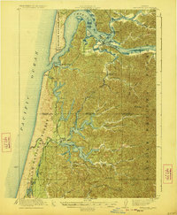
1923 · Reedsport
USGS Topo · 1:62,500
1941 · Siltcoos Lake
USGS Topo · 1:62,500
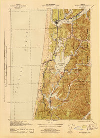
1942 · Siltcoos Lake
USGS Topo · 1:62,500
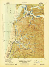
1942 · Reedsport
USGS Topo · 1:62,500
1943 · Goodwin Peak
USGS Topo · 1:62,500
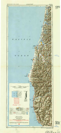
1954 · Coos Bay
USGS Topo · 1:250,000
1955 · Scottsburg
USGS Topo · 1:62,500
1956 · Reedsport
USGS Topo · 1:62,500