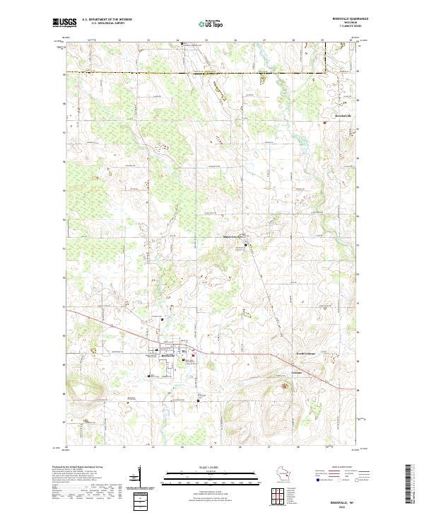
2022 Map of Reedsville
USGS Topo · Published 2022About this map
Reedsville serves as a central hub for this rural Manitowoc County landscape, which is largely defined by a dense network of religious sites and family-linked roadways. The presence of numerous historic burial grounds, such as Old Saint Marys Catholic Church Cem and Saint John - Saint James Lutheran Cem, reflects the deep-rooted immigrant heritage and established community structures of the region.
Find a feature on this map
83 named features on this map. Tap any name to fly to it.
Don’t see what you’re looking for? This feature index may not catch every label — zoom into the map to look around manually.
Map Details
Editions of this 2022 Reedsville Map
This is the sole edition of this map. No revisions or reprints were ever made.
Other maps of this area

1954 · De Pere
USGS Topo · 1:62,500

1954 · Denmark
USGS Topo · 1:62,500

1954 · Chilton
USGS Topo · 1:62,500

1954 · Reedsville
USGS Topo · 1:62,500

1954 · Manitowoc
USGS Topo · 1:250,000

1955 · Green Bay
USGS Topo · 1:250,000

1958 · Manitowoc
USGS Topo · 1:250,000

1974 · Brillion
USGS Topo · 1:24,000
1974 · Potter
USGS Topo · 1:24,000

1974 · Greenleaf
USGS Topo · 1:24,000