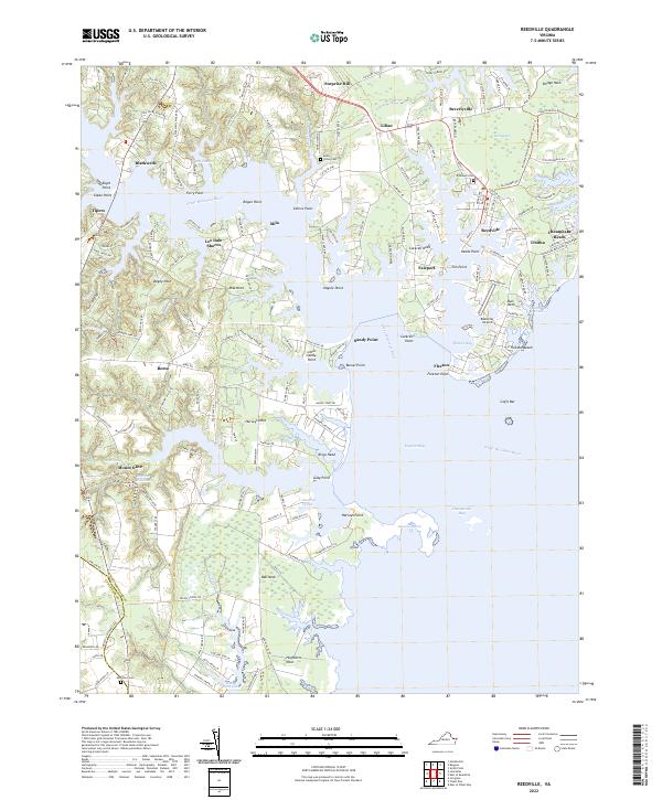
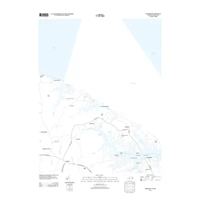
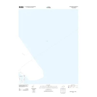
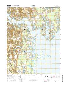
2022 Map of Reedville
USGS Topo · Published 2022About this map
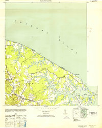
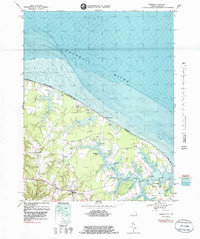
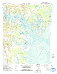
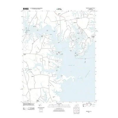
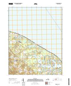
Great Wicomico River carves deep into the Virginia Northern Neck on this modern survey, revealing a landscape defined by intricate fingers of land and sheltered tidal waters. The maritime heritage of the region is evident in the concentration of settlements such as Reedville, Fairport, and Fleeton, which historically supported the menhaden fishing industry. Along the eastern shore, the transition from the river to Ingram Bay and the Chesapeake Bay is marked by expansive natural areas like Dameron Marsh and the many named points including Harveys Point and Fleeton Point. Inland, the map traces contemporary recreation and heritage via the Potomac Heritage National Scenic Trl. Local genealogists will find several burial sites documented, including Union Cem, Roseland Cem, and Morattico Cem, situated near established communities like Beverlyville and Lilian.
Find a feature on this map
62 named features on this map. Tap any name to fly to it.
Don’t see what you’re looking for? This feature index may not catch every label — zoom into the map to look around manually.
Map Details
Editions of this 2022 Reedville Map
This is the sole edition of this map. No revisions or reprints were ever made.
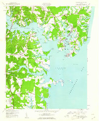
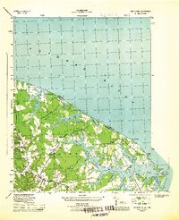
Historical Maps of Mount Olive Through Time
39 maps found
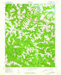
1944 Lottsburg
Northumberland County, VA
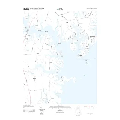
1944 Reedville
Northumberland County, VA
1944 Sunnybank
Northumberland County, VA
1953 Sunnybank
Northumberland County, VA
1968 Burgess
Northumberland County, VA
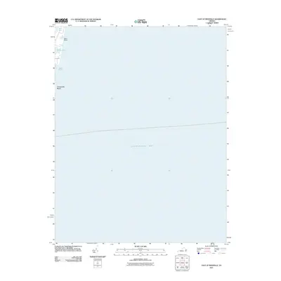
1968 East of Reedville
Northumberland County, VA
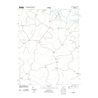
1968 Lottsburg
Northumberland County, VA
1968 Reedville
Northumberland County, VA
1968 Smith Point
Northumberland County, VA
1986 West of Franktown
Northumberland County, VA
2011 Burgess
Northumberland County, VA
2011 East of Reedville
Northumberland County, VA
2011 Lottsburg
Northumberland County, VA
2011 Reedville
Northumberland County, VA
2011 Smith Point
Northumberland County, VA
2013 Burgess
Northumberland County, VA
2013 East of Reedville
Northumberland County, VA
2013 Lottsburg
Northumberland County, VA
2013 Reedville
Northumberland County, VA
2013 Smith Point
Northumberland County, VA
2013 West of Franktown
Northumberland County, VA
2016 Burgess
Northumberland County, VA
2016 East of Reedville
Northumberland County, VA
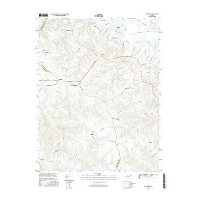
2016 Lottsburg
Northumberland County, VA
2016 Reedville
Northumberland County, VA
2016 Smith Point
Northumberland County, VA
2016 West of Franktown
Northumberland County, VA
2019 Burgess
Northumberland County, VA
2019 East of Reedville
Northumberland County, VA
2019 Lottsburg
Northumberland County, VA
2019 Reedville
Northumberland County, VA
2019 Smith Point
Northumberland County, VA
2019 West of Franktown
Northumberland County, VA
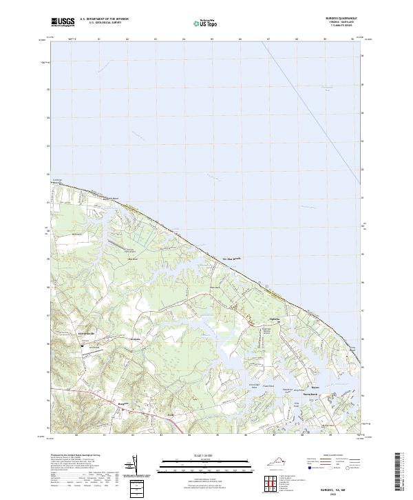
2022 Burgess
Northumberland County, VA
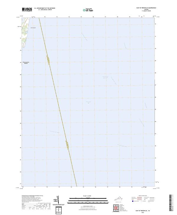
2022 East of Reedville
Northumberland County, VA
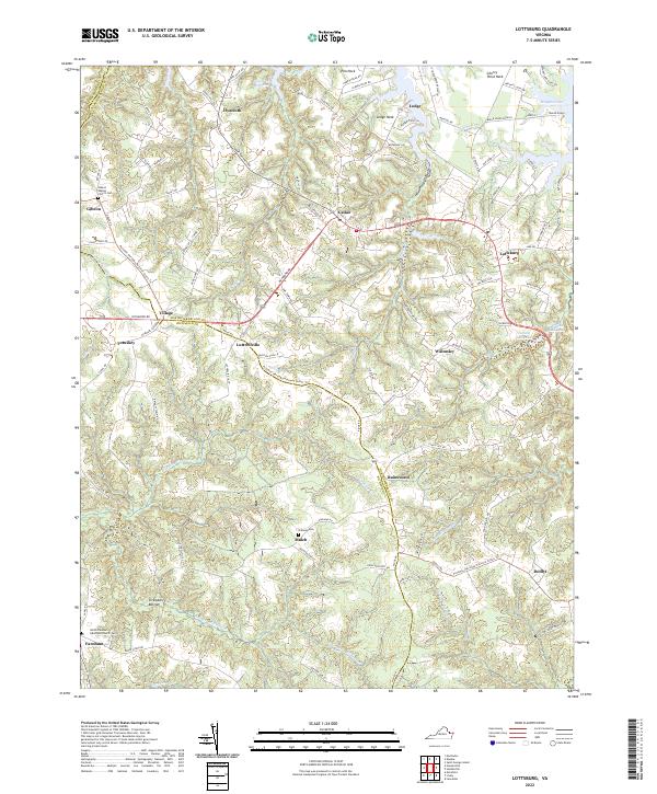
2022 Lottsburg
Northumberland County, VA
2022 Reedville
Northumberland County, VA
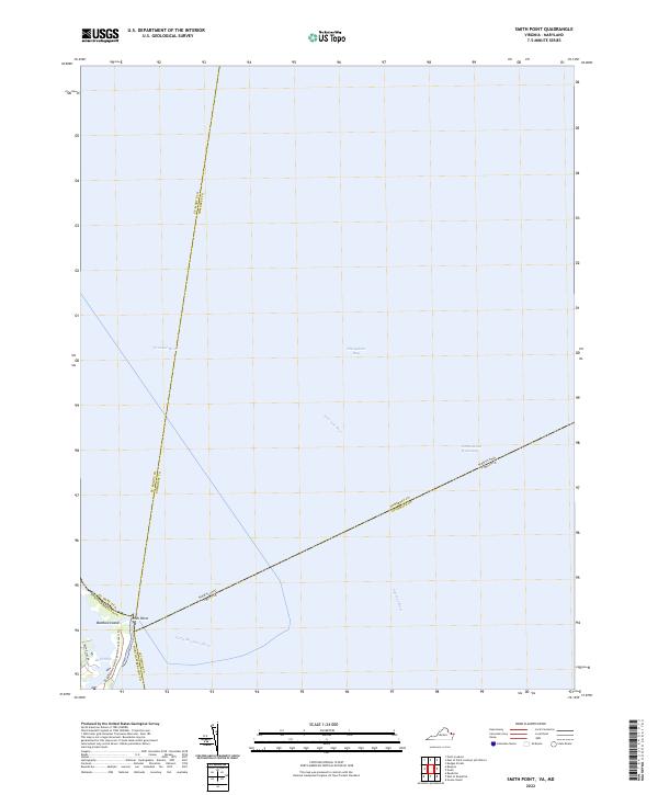
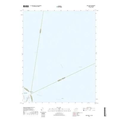
2022 Smith Point
Northumberland County, VA
2022 West of Franktown
Northumberland County, VA