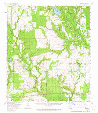
1961 Map of Reeves
USGS Topo · Published 1967About this map
The Beauregard Parish Allen Parish line divides this landscape of piney woods and creek bottoms in the early 1960s. The settlement at Reeves anchors the southeastern corner, serving as a point on the Missouri Pacific railroad, while Longville and Longville Lake sit to the west along the Southern Pacific line. This era captures the transition of the regional economy, with an established oil field and a gravel pit appearing alongside older community landmarks.
Find a feature on this map
61 named features on this map. Tap any name to fly to it.
Don’t see what you’re looking for? This feature index may not catch every label — zoom into the map to look around manually.
Map Details
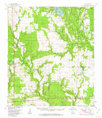
Editions of this 1961 Reeves Map
2 editions found
Other maps of this area

1935 · Mittie
USGS Topo · 1:31,680

1935 · Gordon
USGS Topo · 1:31,680

1935 · Gaytine
USGS Topo · 1:31,680

1935 · Longville
USGS Topo · 1:31,680

1947 · Gaytine
USGS Topo · 1:31,680

1947 · DeRidder
USGS Topo · 1:31,680

1947 · Kernan
USGS Topo · 1:31,680

1947 · Le Blanc
USGS Topo · 1:31,680

1947 · Ikes
USGS Topo · 1:31,680

1947 · Edna
USGS Topo · 1:31,680