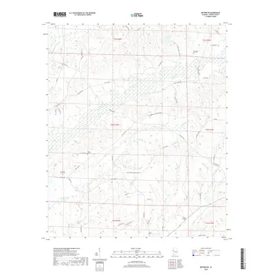
2018 Map of Reform SW
USGS Topo · Published 2018About this map
Coal Fire Cr and its winding tributaries dominate this landscape in Pickens County, where the topography is defined by the prominent Stinson Ridge and Rocky Ridge. This rural Alabama geography is marked by a network of family-named roads and remote burial grounds that offer significant detail for local historians. Of particular note are the scattered cemeteries such as Zion Possum Bend Cem, Crossroads Cem, and Big Creek Cem, which often represent the only remaining physical links to early rural settlements. The area around Spring Hill Church and the nearby Spring Hill Cem suggests a long-standing community center. The drainage patterns of Woolbank Cr and Little Cr flow through the southern portions of the quadrangle, illustrating the complex watershed that feeds into the larger regional creek systems.
Find a feature on this map
58 named features on this map. Tap any name to fly to it.
Don’t see what you’re looking for? This feature index may not catch every label — zoom into the map to look around manually.
Map Details
Editions of this 2018 Reform SW Map
This is the sole edition of this map. No revisions or reprints were ever made.
Other maps of this area

1953 · West Point
USGS Topo · 1:250,000

1958 · West Point
USGS Topo · 1:250,000

1960 · Columbus
USGS Topo · 1:62,500

1963 · West Point
USGS Topo · 1:250,000

1966 · Ethelsville
USGS Topo · 1:24,000

1966 · Reform SW
USGS Topo · 1:24,000

1967 · Carrollton
USGS Topo · 1:24,000
1967 · Reform
USGS Topo · 1:24,000

1970 · Aliceville North
USGS Topo · 1:24,000
1970 · Cunningham
USGS Topo · 1:24,000