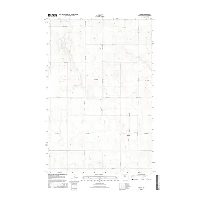
2014 Map of Regan
USGS Topo · Published 2014About this map
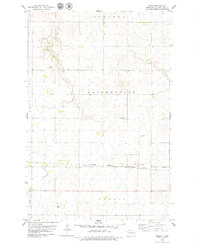
Regan serves as the primary focal point of this Burleigh County landscape, situated along a network of section-line roads that define the region's agricultural character. The settlement's layout is centered on S Main St and Austin St, representing a typical North Dakota prairie community organized by the Public Land Survey System. The surrounding terrain is meticulously mapped with an extensive grid of thoroughfares, including 145th St NE and 396th Ave NE, which provide access to the undulating uplands. This 2014 survey illustrates the persistence of the rural grid and the sparse but deliberate distribution of infrastructure in the northern plains, where the geography is shaped more by surveyed township lines than by major natural watercourses.
Find a feature on this map
19 named features on this map. Tap any name to fly to it.
Don’t see what you’re looking for? This feature index may not catch every label — zoom into the map to look around manually.
Map Details
Editions of this 2014 Regan Map
This is the sole edition of this map. No revisions or reprints were ever made.
Other maps of this area

1954 · McClusky
USGS Topo · 1:250,000

1958 · McClusky
USGS Topo · 1:250,000

1959 · Mercer SW
USGS Topo · 1:24,000

1959 · Mercer SE
USGS Topo · 1:24,000

1960 · Horse Lake
USGS Topo · 1:24,000
1975 · Wing SW
USGS Topo · 1:24,000
1975 · Regan SE
USGS Topo · 1:24,000
1979 · Baldwin
USGS Topo · 1:24,000
1979 · Regan
USGS Topo · 1:24,000

1979 · Canfield Lake
USGS Topo · 1:24,000