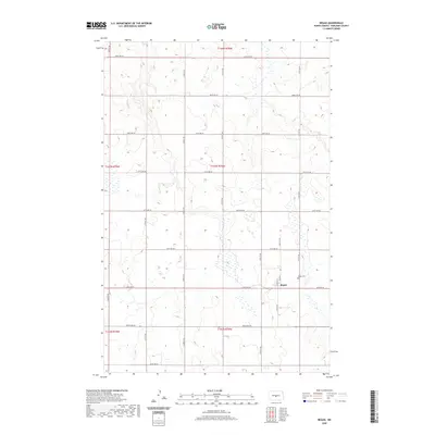
2020 Map of Regan
USGS Topo · Published 2020About this map
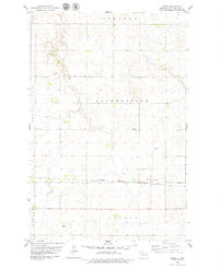
Regan serves as the central hub of this Burleigh County landscape, situated at the intersection of Main St N and Old Hwy 36. The town's layout is clearly defined by a grid of local roads, including Austin St and Main St S, which anchor the small community within a broader agricultural region. To the east of the primary settlement, the Regan Cem provides a point of significant interest for genealogists and local historians tracing family lineages in the area. The surrounding terrain is meticulously organized by a township and range system, with section lines marked by numbered avenues such as 318th Ave NE and 158th St NE, illustrating the persistent 19th-century land-division patterns that still govern the North Dakota prairie today.
Find a feature on this map
27 named features on this map. Tap any name to fly to it.
Don’t see what you’re looking for? This feature index may not catch every label — zoom into the map to look around manually.
Map Details
Editions of this 2020 Regan Map
This is the sole edition of this map. No revisions or reprints were ever made.
Other maps of this area

1954 · McClusky
USGS Topo · 1:250,000

1958 · McClusky
USGS Topo · 1:250,000

1959 · Mercer SW
USGS Topo · 1:24,000

1959 · Mercer SE
USGS Topo · 1:24,000

1960 · Horse Lake
USGS Topo · 1:24,000
1975 · Wing SW
USGS Topo · 1:24,000
1975 · Regan SE
USGS Topo · 1:24,000
1979 · Baldwin
USGS Topo · 1:24,000
1979 · Regan
USGS Topo · 1:24,000

1979 · Canfield Lake
USGS Topo · 1:24,000