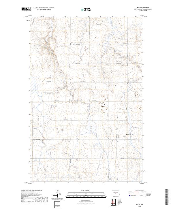
2024 Map of Regan
USGS Topo · Published 2024About this map
Regan serves as the primary settlement on this North Dakota prairie landscape, situated near the intersection of Main St N and Austin St. The town's layout is clearly defined against the surrounding agricultural grid, which is marked by extensive township and range boundaries like t143n r78w. Genealogists and local historians will find the Regan Cem located just east of the village center, providing a vital point of reference for family research in Burleigh County. The transportation network is anchored by Old Hwy 36, which runs east-west through the southern portion of the settlement. The map reflects a classic Great Plains section-line road system, with routes such as 145th St NE and 344th Ave NE carving the terrain into precise squares. This modern survey captures the enduring rural structure of the region, where small-town clusters like Regan remain the focal points for the surrounding farming community.
Find a feature on this map
27 named features on this map. Tap any name to fly to it.
Don’t see what you’re looking for? This feature index may not catch every label — zoom into the map to look around manually.
Map Details
Editions of this 2024 Regan Map
This is the sole edition of this map. No revisions or reprints were ever made.
Other maps of this area

1954 · McClusky
USGS Topo · 1:250,000

1958 · McClusky
USGS Topo · 1:250,000

1959 · Mercer SW
USGS Topo · 1:24,000

1959 · Mercer SE
USGS Topo · 1:24,000

1960 · Horse Lake
USGS Topo · 1:24,000
1975 · Wing SW
USGS Topo · 1:24,000
1975 · Regan SE
USGS Topo · 1:24,000
1979 · Baldwin
USGS Topo · 1:24,000
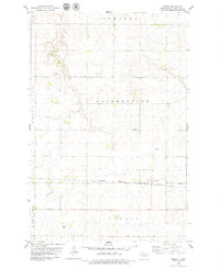
1979 · Regan
USGS Topo · 1:24,000

1979 · Canfield Lake
USGS Topo · 1:24,000