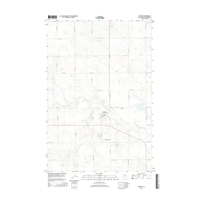
2014 Map of Regent
USGS Topo · Published 2014About this map
Regent serves as a vital agricultural hub in Hettinger County, positioned where the landscape is defined by the winding course of the Cannonball River. This 2014 survey illustrates a classic High Plains settlement pattern, with the town’s grid oriented around a transport corridor that parallels the river's path. The surrounding terrain is characterized by the broad, subtle drainage basins of the North Dakota prairie, which have long supported the region’s ranching and wheat farming economy. The map provides a clear record of the rural road network and the relationship between the town site and the river, offering a precise look at the area's geography before more recent shifts in regional land use.
Find a feature on this map
2 named features on this map. Tap any name to fly to it.
Don’t see what you’re looking for? This feature index may not catch every label — zoom into the map to look around manually.
Map Details
Editions of this 2014 Regent Map
This is the sole edition of this map. No revisions or reprints were ever made.
Other maps of this area

1953 · Dickinson
USGS Topo · 1:250,000

1957 · Dickinson
USGS Topo · 1:250,000

1960 · White Butte West
USGS Topo · 1:24,000

1966 · Mott NW
USGS Topo · 1:24,000

1966 · Regent
USGS Topo · 1:24,000

1966 · Mott SW
USGS Topo · 1:24,000

1973 · Liens Dams
USGS Topo · 1:24,000

1973 · Lefor SW
USGS Topo · 1:24,000

1973 · Stony Butte
USGS Topo · 1:24,000

1973 · Havelock
USGS Topo · 1:24,000