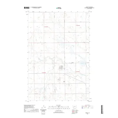
2020 Map of Regent
USGS Topo · Published 2020About this map
The town of Regent sits at the heart of this Hettinger County landscape, defined by the winding course of the Cannonball River. The community's grid is anchored by Main Ave and Railway St, reflecting its historical reliance on the rail corridor for transport across the North Dakota plains. The surrounding area is primarily agricultural, punctuated by local water sources like Indian Cr, Spring Cr, and the small Larson Lake.
Find a feature on this map
40 named features on this map. Tap any name to fly to it.
Don’t see what you’re looking for? This feature index may not catch every label — zoom into the map to look around manually.
Map Details
Editions of this 2020 Regent Map
This is the sole edition of this map. No revisions or reprints were ever made.
Other maps of this area

1953 · Dickinson
USGS Topo · 1:250,000

1957 · Dickinson
USGS Topo · 1:250,000

1960 · White Butte West
USGS Topo · 1:24,000

1966 · Mott NW
USGS Topo · 1:24,000

1966 · Regent
USGS Topo · 1:24,000

1966 · Mott SW
USGS Topo · 1:24,000

1973 · Liens Dams
USGS Topo · 1:24,000

1973 · Lefor SW
USGS Topo · 1:24,000

1973 · Stony Butte
USGS Topo · 1:24,000

1973 · Havelock
USGS Topo · 1:24,000