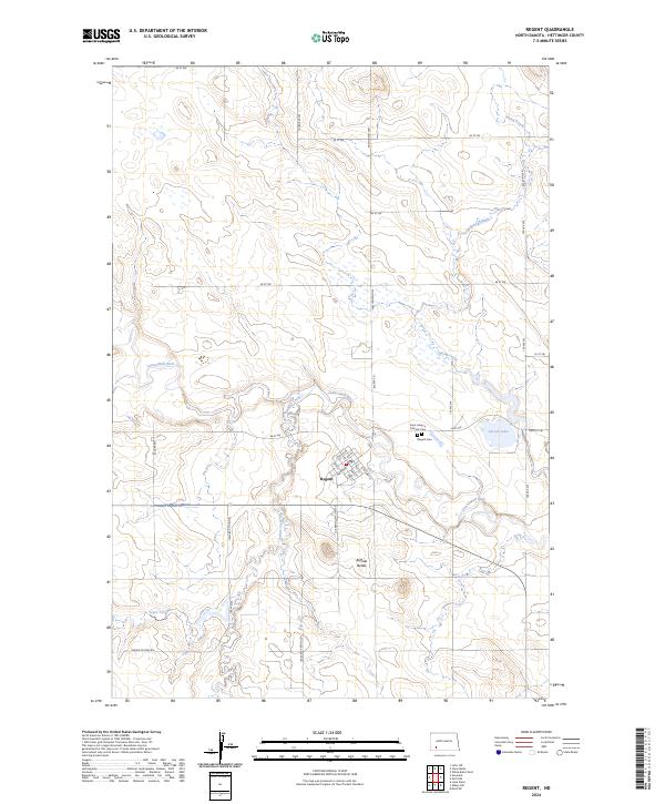
2024 Map of Regent
USGS Topo · Published 2024About this map
Regent serves as the central hub for this portion of Hettinger County, situated at the crossroads where the Enchanted Hwy meets the local grid of agricultural roads. The town's layout is defined by its proximity to the Cannonball River, with a compact street plan including Railway St and Main Ave. The surrounding prairie landscape is marked by the distinct elevations of the Buffalo Buttes to the south and the winding paths of Spring Creek and Indian Creek. Genealogists and local historians will find the locations of Saint Henry's Catholic Cem and the Regent Cem just north of the town site. The map also detail the water resources of the region, including Larson Lake and the drainage systems of Tepee Creek, which reflect the area's enduring reliance on its river and creek networks for ranching and agriculture.
Find a feature on this map
39 named features on this map. Tap any name to fly to it.
Don’t see what you’re looking for? This feature index may not catch every label — zoom into the map to look around manually.
Map Details
Editions of this 2024 Regent Map
This is the sole edition of this map. No revisions or reprints were ever made.
Other maps of this area

1953 · Dickinson
USGS Topo · 1:250,000

1957 · Dickinson
USGS Topo · 1:250,000

1960 · White Butte West
USGS Topo · 1:24,000

1966 · Mott NW
USGS Topo · 1:24,000

1966 · Regent
USGS Topo · 1:24,000

1966 · Mott SW
USGS Topo · 1:24,000

1973 · Liens Dams
USGS Topo · 1:24,000

1973 · Lefor SW
USGS Topo · 1:24,000

1973 · Stony Butte
USGS Topo · 1:24,000

1973 · Havelock
USGS Topo · 1:24,000