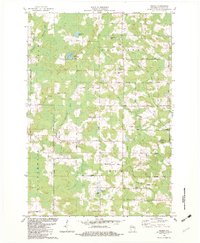
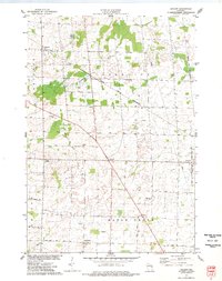
1982 Map of Regina
USGS Topo · Published 1982About this map
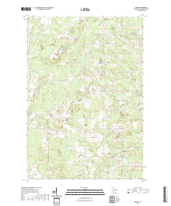
The North Branch Embarrass River and West Branch Embarrass River define the terrain of this northern Wisconsin landscape as it appeared in the early 1980s. The village of Mattoon sits at the northern edge, while the small settlement of Regina is located further south along the river. This survey captures a mix of agricultural clearings and dense woods, where many roads carry names reflecting the flora of the area, such as Cherry Road, Hemlock Road, and Blueberry Road.
Find a feature on this map
40 named features on this map. Tap any name to fly to it.
Don’t see what you’re looking for? This feature index may not catch every label — zoom into the map to look around manually.
Map Details
Editions of this 1982 Regina Map
This is the sole edition of this map. No revisions or reprints were ever made.
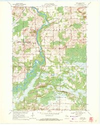
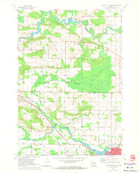
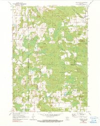
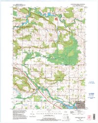
Historical Maps of Almon Through Time
15 maps found
1969 Lunds
Shawano County, WI
1970 Clintonville North
Shawano County, WI
1970 Tigerton NW
Shawano County, WI
1974 Zachow
Shawano County, WI
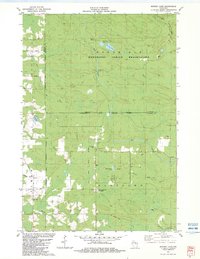
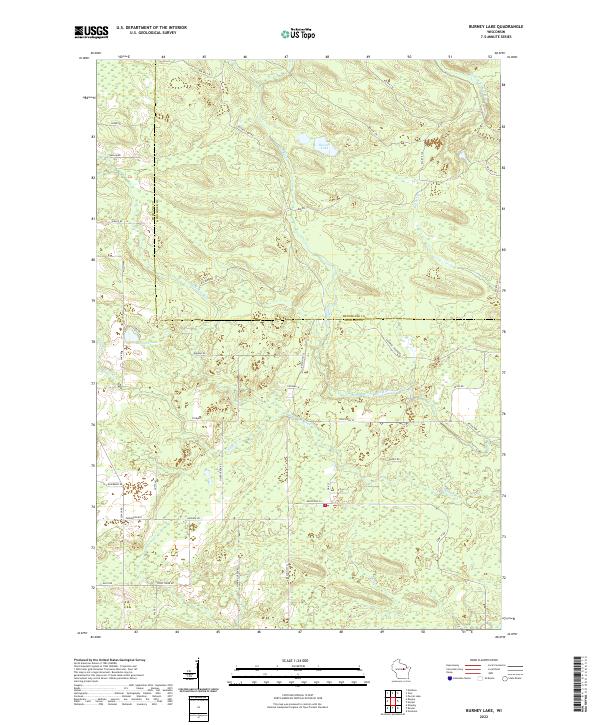
1982 Burney Lake
Shawano County, WI
1982 Regina
Shawano County, WI
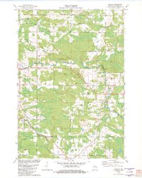
1982 Shepley
Shawano County, WI
1993 Clintonville North
Shawano County, WI
2022 Burney Lake
Shawano County, WI
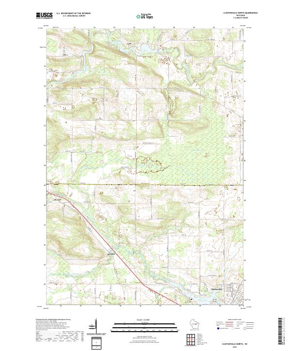
2022 Clintonville North
Shawano County, WI
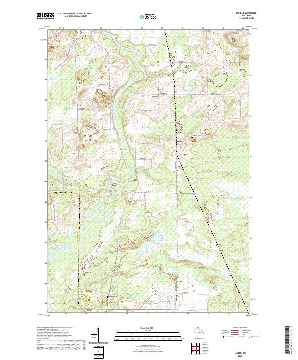
2022 Lunds
Shawano County, WI
2022 Regina
Shawano County, WI
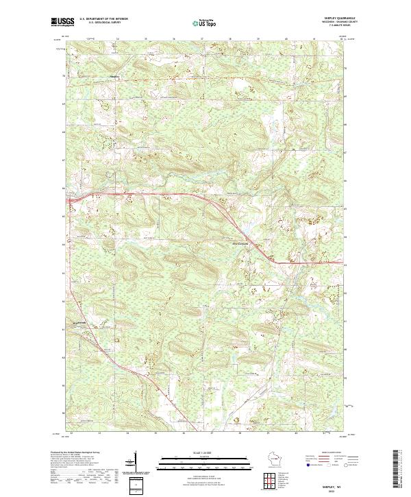
2022 Shepley
Shawano County, WI
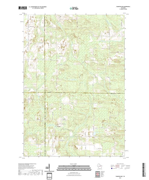
2022 Tigerton NW
Shawano County, WI
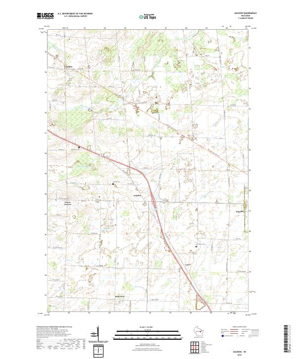
2022 Zachow
Shawano County, WI