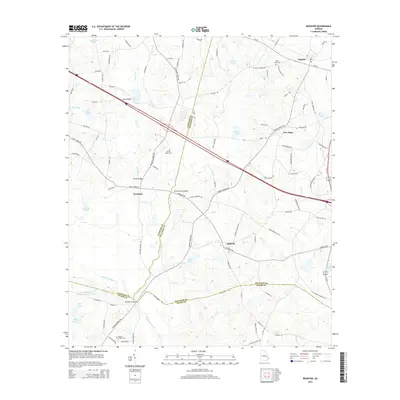
2014 Map of Register
USGS Topo · Published 2014About this map
Register serves as a primary hub in this Georgia landscape, situated where the rural road network converges near the Saint Pauls Cem. The map illustrates a region defined by its water systems, from the winding Canoochee River in the south to the northern drainage of Tenmile Cr and its various ponds like Tillman Pond and Atwood Pond. Significant industrial land use is evident at the Great Southern Paper Company Lake, while smaller settlements such as Adabelle, New Hope, and Excelsior indicate the historical distribution of local communities. Genealogists can find several key burial sites, including the Bowen Dekle Cem and Easons Chapel Cem. The terrain is interconnected by numerous crossings, such as Hi-Hill Bridge and Mike Kennedy Bridge, reflecting the essential nature of these river passages for local travel and transport.
Find a feature on this map
98 named features on this map. Tap any name to fly to it.
Don’t see what you’re looking for? This feature index may not catch every label — zoom into the map to look around manually.
Map Details
Editions of this 2014 Register Map
This is the sole edition of this map. No revisions or reprints were ever made.
Other maps of this area

1919 · Claxton
USGS Topo · 1:62,500

1920 · Statesboro
USGS Topo · 1:62,500

1943 · Statesboro
USGS Topo · 1:62,500

1944 · Claxton
USGS Topo · 1:62,500

1947 · Savannah
USGS Topo · 1:250,000

1948 · Savannah
USGS Topo · 1:250,000

1950 · Claxton
USGS Topo · 1:62,500

1957 · Macon
USGS Topo · 1:250,000

1957 · Savannah
USGS Topo · 1:250,000

1958 · Macon
USGS Topo · 1:250,000