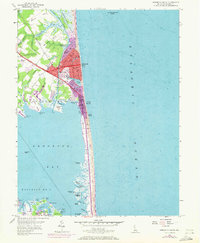
2023 Map of Rehoboth Beach
USGS Topo · Published 2023About this map
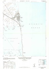
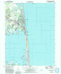
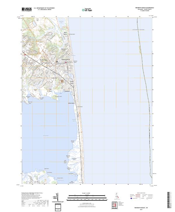
Rehoboth Beach and the surrounding coastal communities of the Delmarva Peninsula are detailed in this recent look at the Atlantic shoreline. The transition from the developed boardwalk and town grid of Rehoboth Beach southward through Dewey Beach and Indian Beach reveals a landscape defined by narrow coastal strips and expansive inland waters. The Lewes and Rehoboth Canal serves as a distinct boundary, separating the primary coastal settlements from inland neighborhoods like Shockley Manor and Truitts Park.
Find a feature on this map
62 named features on this map. Tap any name to fly to it.
Don’t see what you’re looking for? This feature index may not catch every label — zoom into the map to look around manually.
Map Details
Editions of this 2023 Rehoboth Beach Map
This is the sole edition of this map. No revisions or reprints were ever made.
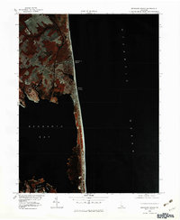
Historical Maps of Indian Beach Through Time
5 maps found