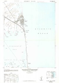
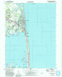
1948 Map of Rehoboth Beach
USGS Topo · Published 1949About this map
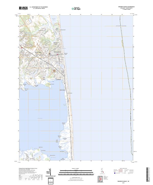
Rehoboth Beach sits at a transitional moment in the late 1940s, showing the early density of its street grid alongside the wide, undeveloped Sand Dunes stretching south toward Rehoboth Bay. The town is bordered by Lake Gerar to the north and Silver Lake to the south, the latter of which serves as a landmark for the Rehoboth State Bird and Game Refuge. The presence of the Pennsylvania (Delmarva Division) railroad and the Lewes and Rehoboth Canal underscores the vital transport infrastructure that linked these coastal resorts to inland commerce.
Find a feature on this map
59 named features on this map. Tap any name to fly to it.
Don’t see what you’re looking for? This feature index may not catch every label — zoom into the map to look around manually.
Map Details
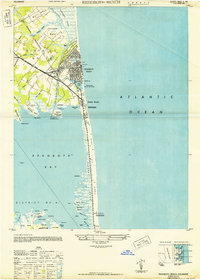
Editions of this 1948 Rehoboth Beach Map
2 editions found
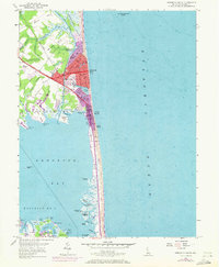
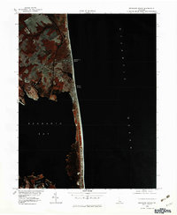
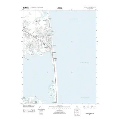
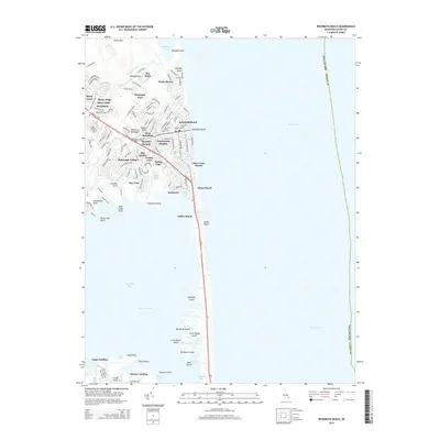
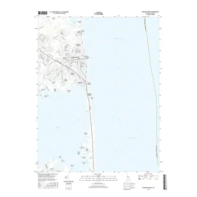
Historical Maps of Rehoboth Beach Through Time
9 maps found
1948 Rehoboth Beach
Sussex County, DE
1954 Rehoboth Beach
Sussex County, DE
1980 Rehoboth Beach
Sussex County, DE
1984 Rehoboth Beach
Sussex County, DE
2011 Rehoboth Beach
Sussex County, DE
2014 Rehoboth Beach
Sussex County, DE
2016 Rehoboth Beach
Sussex County, DE
2019 Rehoboth Beach
Sussex County, DE
2023 Rehoboth Beach
Sussex County, DE