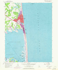
1954 Map of Rehoboth Beach
USGS Topo · Published 1972About this map
Rehoboth Beach and its coastal neighbors are captured here during a period of significant mid-century expansion, with purple photorevisions indicating the growing residential footprint of Henlopen Acres and Dewey Beach. The map details the delicate geography between the Atlantic Ocean and Rehoboth Bay, highlighting the freshwater bodies of Silver Lake and Lake Gerar that sit just behind the coastal dunes. The Lewes and Rehoboth Canal cuts through the marshes to the west, defining the inland boundary of the beach communities. Local infrastructure is well-documented, from the Rehoboth Station along the Penn Central line to the Rehoboth Airfield and the iconic Boardwalk. In the bay, numerous small islands like Thompson Island and Big Piney Island dot the tidal marshes of District No 10, showing the complex shoreline before modern development further altered these wetlands.
Find a feature on this map
63 named features on this map. Tap any name to fly to it.
Don’t see what you’re looking for? This feature index may not catch every label — zoom into the map to look around manually.
Map Details
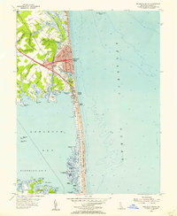
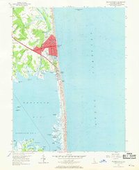
Editions of this 1954 Rehoboth Beach Map
3 editions found
Other maps of this area

1888 · Cape May
USGS Topo · 1:62,500

1893 · Cape May
USGS Topo · 1:62,500

1898 · Cape May
USGS Topo · 1:62,500

1918 · Rehoboth
USGS Topo · 1:62,500

1918 · Cape Henlopen
USGS Topo · 1:62,500

1918 · Cape May
USGS Topo · 1:62,500

1925 · Cape May
USGS Topo · 1:62,500

1937 · Cape Henlopen
USGS Topo · 1:62,500

1938 · Rehoboth
USGS Topo · 1:62,500
1940 · Cape May
USGS Topo · 1:62,500