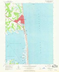
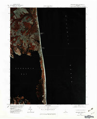
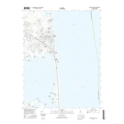
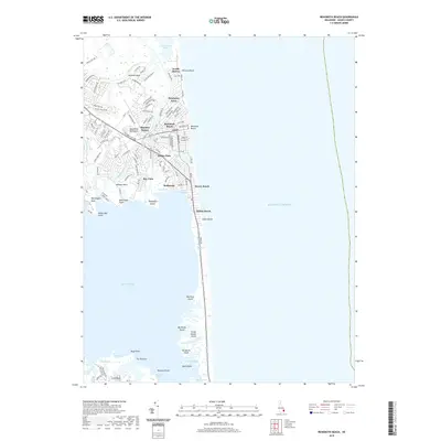
1954 Map of Rehoboth Beach
USGS Topo · Published 1969About this map
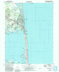
Rehoboth Beach serves as the focal point of this mid-century survey, showing the coastal community's layout from the Boardwalk and Rehoboth Ave to the Rehoboth Sta and High Sch. The landscape is defined by the narrow strip of land between the Atlantic Ocean and Rehoboth Bay, where freshwater lakes like Lake Gerar, Silver Lake, and Lake Comegys sit just inland from the Sand Dunes.
Find a feature on this map
78 named features on this map. Tap any name to fly to it.
Don’t see what you’re looking for? This feature index may not catch every label — zoom into the map to look around manually.
Map Details
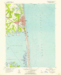
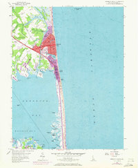
Editions of this 1954 Rehoboth Beach Map
3 editions found
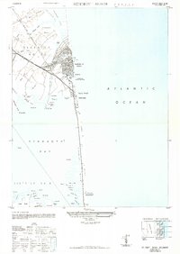
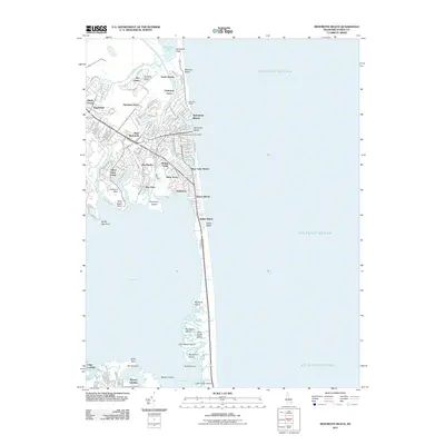
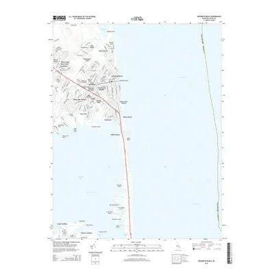
Historical Maps of Rehoboth Beach Through Time
9 maps found
1948 Rehoboth Beach
Sussex County, DE
1954 Rehoboth Beach
Sussex County, DE
1980 Rehoboth Beach
Sussex County, DE
1984 Rehoboth Beach
Sussex County, DE
2011 Rehoboth Beach
Sussex County, DE
2014 Rehoboth Beach
Sussex County, DE
2016 Rehoboth Beach
Sussex County, DE
2019 Rehoboth Beach
Sussex County, DE
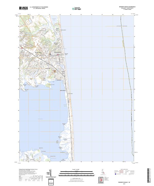
2023 Rehoboth Beach
Sussex County, DE