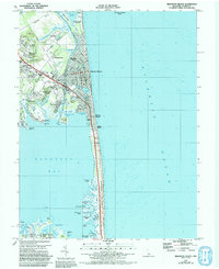
1984 Map of Rehoboth Beach
USGS Topo · Published 1992About this map
Rehoboth Beach serves as the central hub of this coastal survey, showcasing the dense residential and commercial grid of the resort community as it appeared in the mid-1980s. The landscape is defined by the narrow strip of land between the Atlantic Ocean and Rehoboth Bay, where development like Silver Lake Manor and Dewey Beach crowds toward the shoreline. To the north, Cape Henlopen State Park preserves a more open environment of Henlopen Flats and Gordons Pond, contrasting with the manicured grounds of the Rehoboth Yacht and Country Club.
Find a feature on this map
73 named features on this map. Tap any name to fly to it.
Don’t see what you’re looking for? This feature index may not catch every label — zoom into the map to look around manually.
Map Details
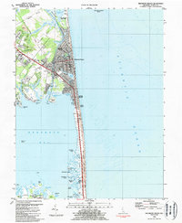
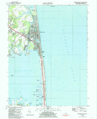
Editions of this 1984 Rehoboth Beach Map
3 editions found
Other maps of this area

1888 · Cape May
USGS Topo · 1:62,500

1893 · Cape May
USGS Topo · 1:62,500

1898 · Cape May
USGS Topo · 1:62,500

1918 · Rehoboth
USGS Topo · 1:62,500

1918 · Cape Henlopen
USGS Topo · 1:62,500

1918 · Cape May
USGS Topo · 1:62,500

1925 · Cape May
USGS Topo · 1:62,500

1937 · Cape Henlopen
USGS Topo · 1:62,500

1938 · Rehoboth
USGS Topo · 1:62,500
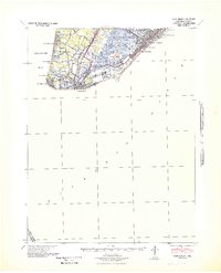
1940 · Cape May
USGS Topo · 1:62,500