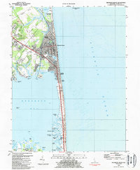
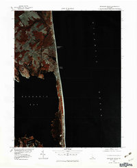
1984 Map of Rehoboth Beach
USGS Topo · Published 1984About this map
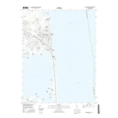
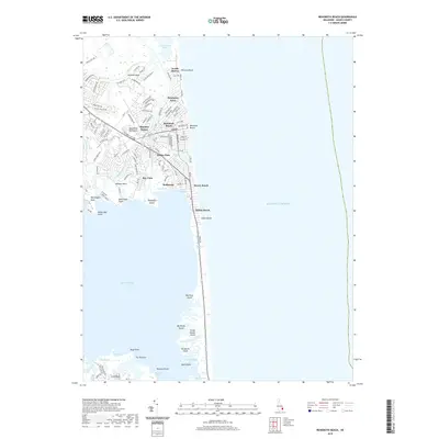
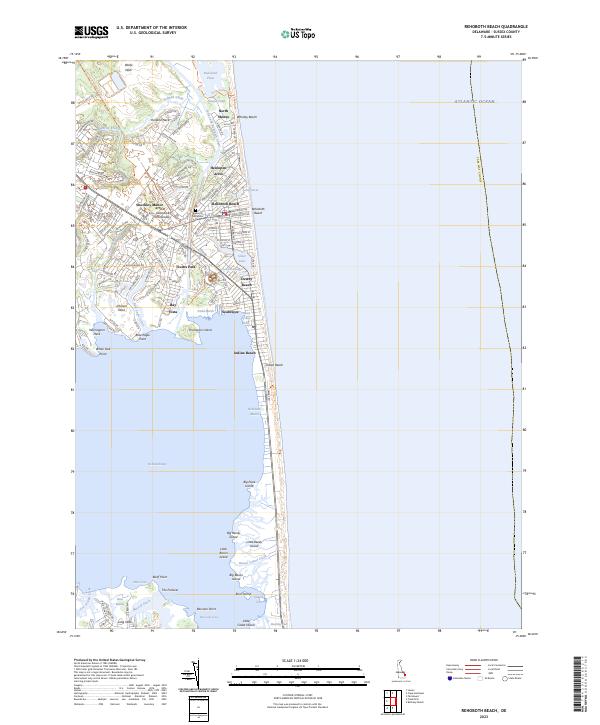
The coastal communities of Rehoboth Beach and Dewey Beach are captured here in the mid-1980s, revealing a landscape defined by the narrow barrier between the Atlantic Ocean and the sprawling waters of Rehoboth Bay. This era shows a well-established resort infrastructure, with the Pennsylvania railroad line reaching into the town center and the Rehoboth Beach Airport situated just west of the primary settlements. Distinct residential enclaves like Henlopen Acres are shown alongside local landmarks such as All Saints Ch and Silver Lake.
Find a feature on this map
69 named features on this map. Tap any name to fly to it.
Don’t see what you’re looking for? This feature index may not catch every label — zoom into the map to look around manually.
Map Details
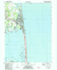
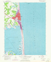
Editions of this 1984 Rehoboth Beach Map
3 editions found
Historical Maps of Rehoboth Beach Through Time
9 maps found
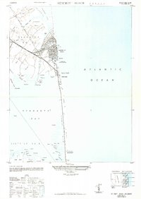
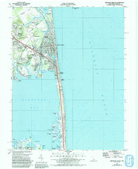
1948 Rehoboth Beach
Sussex County, DE
1954 Rehoboth Beach
Sussex County, DE
1980 Rehoboth Beach
Sussex County, DE
1984 Rehoboth Beach
Sussex County, DE
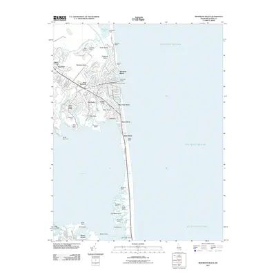
2011 Rehoboth Beach
Sussex County, DE
2014 Rehoboth Beach
Sussex County, DE
2016 Rehoboth Beach
Sussex County, DE
2019 Rehoboth Beach
Sussex County, DE
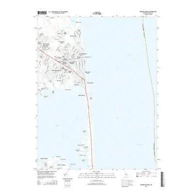
2023 Rehoboth Beach
Sussex County, DE