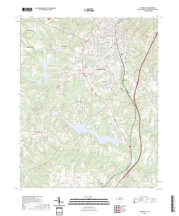
2022 Map of Reidsville
USGS Topo · Published 2022About this map
Reidsville serves as the central hub of this North Carolina landscape, where urban street grids meet the winding tributaries of the Haw River. The area is defined by its diverse water features, from the large Methodist Camp Lake in the south to smaller bodies like Hester Lake and Clarks Lake further north. These water sources are fed by a complex drainage network including Little Troublesome Cr and Wolf Island Cr, which have shaped the local topography and settlement patterns.
Find a feature on this map
198 named features on this map. Tap any name to fly to it.
Don’t see what you’re looking for? This feature index may not catch every label — zoom into the map to look around manually.
Map Details
Editions of this 2022 Reidsville Map
This is the sole edition of this map. No revisions or reprints were ever made.
Other maps of this area

1951 · Lake Brandt
USGS Topo · 1:24,000

1951 · Browns Summit
USGS Topo · 1:24,000

1953 · Greensboro
USGS Topo · 1:250,000

1954 · Greensboro
USGS Topo · 1:250,000

1962 · Greensboro
USGS Topo · 1:250,000

1966 · Greensboro
USGS Topo · 1:250,000

1970 · Ossipee
USGS Topo · 1:24,000
1971 · Southeast Eden
USGS Topo · 1:24,000
1971 · Ruffin
USGS Topo · 1:24,000
1971 · Bethany
USGS Topo · 1:24,000