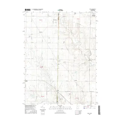
2016 Map of Reily
USGS Topo · Published 2016About this map
Indian Creek and its many tributaries, including Little Indian Cr and Phillips Cr, define the drainage patterns across this borderland between Butler County, Ohio, and Franklin County, Indiana. The map captures a primarily agricultural landscape punctuated by several crossroads communities such as Reily, Scipio, and Mixersville. This area is particularly rich in genealogical sites, featuring numerous family and church burial grounds like Springdale Cem, Mathew-Smith Cem, and Kennard Cem.
Find a feature on this map
86 named features on this map. Tap any name to fly to it.
Don’t see what you’re looking for? This feature index may not catch every label — zoom into the map to look around manually.
Map Details
Editions of this 2016 Reily Map
This is the sole edition of this map. No revisions or reprints were ever made.
Other maps of this area

1911 · Oxford
USGS Topo · 1:62,500

1915 · College Corner
USGS Topo · 1:48,000

1915 · Harrison
USGS Topo · 1:48,000

1915 · Hamilton
USGS Topo · 1:62,500

1917 · Hamilton
USGS Topo · 1:62,500

1918 · College Corner
USGS Topo · 1:62,500

1948 · Fairfield
USGS Topo · 1:24,000

1953 · Cincinnati
USGS Topo · 1:250,000

1955 · Harrison
USGS Topo · 1:24,000

1955 · Reily
USGS Topo · 1:24,000