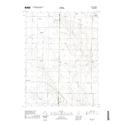
2019 Map of Reily
USGS Topo · Published 2019About this map
The Indiana-Ohio state line serves as a central spine for this borderland landscape, where small rural settlements like Peoria and Scipio bridge the divide between Franklin and Butler counties. The drainage of Indian Creek and the Dry Fork Whitewater River dictate the road network, which winds through a territory marked by numerous family and community burial grounds, including the Walker Chapel Cem, Asbury Cem, and Mathew-Smith Cem. Near the northern boundary, the Miami University-Airport sits just west of Oxford, while the southern reaches feature the Bebb Park Bridge near Bartmess Lake. This landscape reflects a long-standing agricultural pattern, with farmsteads connected by a dense web of local routes like Riley Pike and Peoria Reily Rd, maintaining a character that has remained remarkably consistent over decades of rural development.
Find a feature on this map
80 named features on this map. Tap any name to fly to it.
Don’t see what you’re looking for? This feature index may not catch every label — zoom into the map to look around manually.
Map Details
Editions of this 2019 Reily Map
This is the sole edition of this map. No revisions or reprints were ever made.
Other maps of this area

1911 · Oxford
USGS Topo · 1:62,500

1915 · College Corner
USGS Topo · 1:48,000

1915 · Harrison
USGS Topo · 1:48,000

1915 · Hamilton
USGS Topo · 1:62,500

1917 · Hamilton
USGS Topo · 1:62,500

1918 · College Corner
USGS Topo · 1:62,500

1948 · Fairfield
USGS Topo · 1:24,000

1953 · Cincinnati
USGS Topo · 1:250,000

1955 · Harrison
USGS Topo · 1:24,000

1955 · Reily
USGS Topo · 1:24,000